

 Ayres Presents Aerial Lidar Workshop at Surveyors Conference

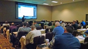
 Zach Nienow and Matt Vinopal had the opportunity to demonstrate applications of Lidar during the 68th Surveyors Institute organized by the Wisconsin Society of Land Surveyors (WSLS). This three day event in the Wisconsin Dells is one of the best attended professional events for surveyors in the Midwest and features many continuing education opportunities from a broad range of topics- ranging from ethical decision making to highly technical topics about survey and mapping equipment.
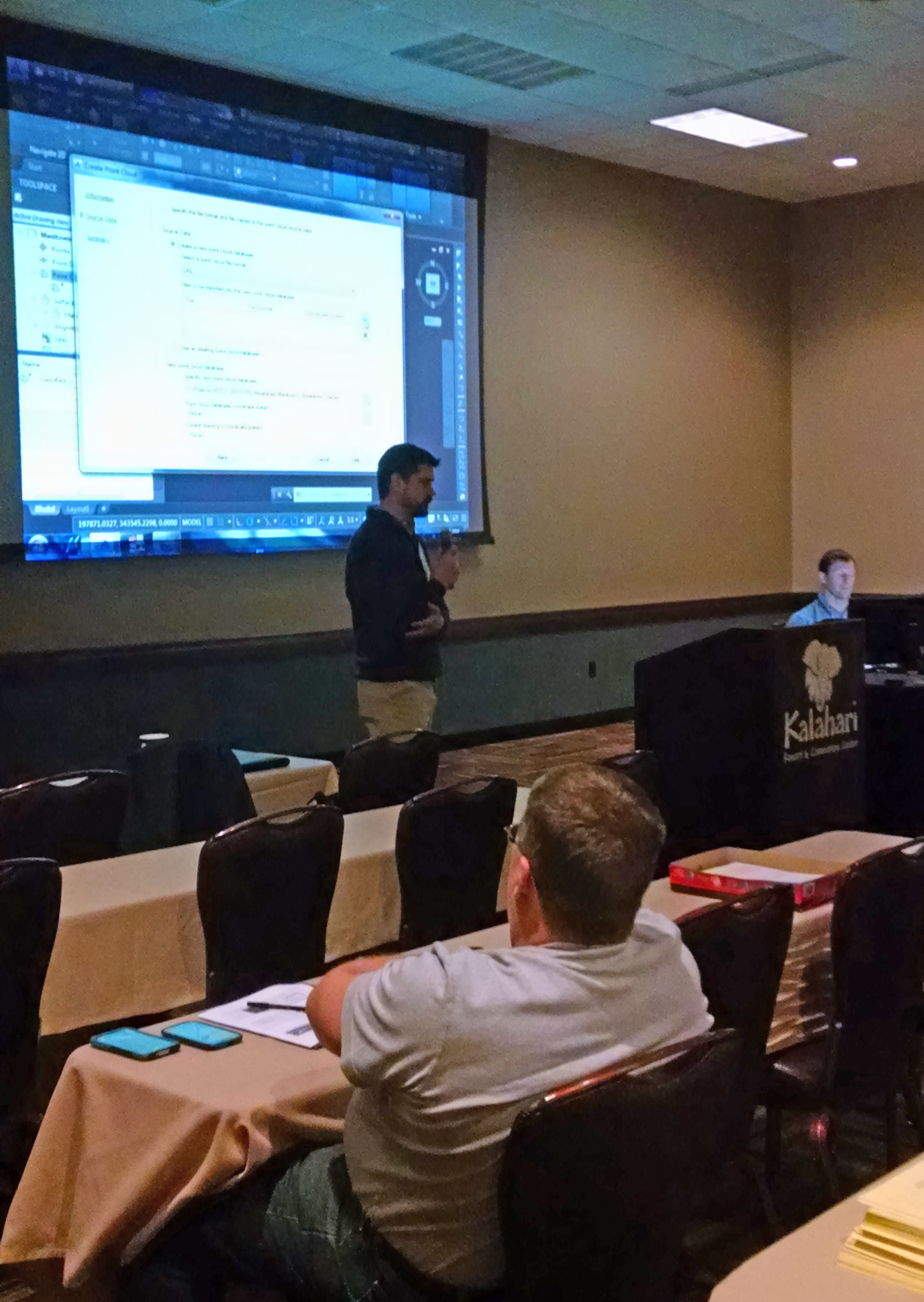
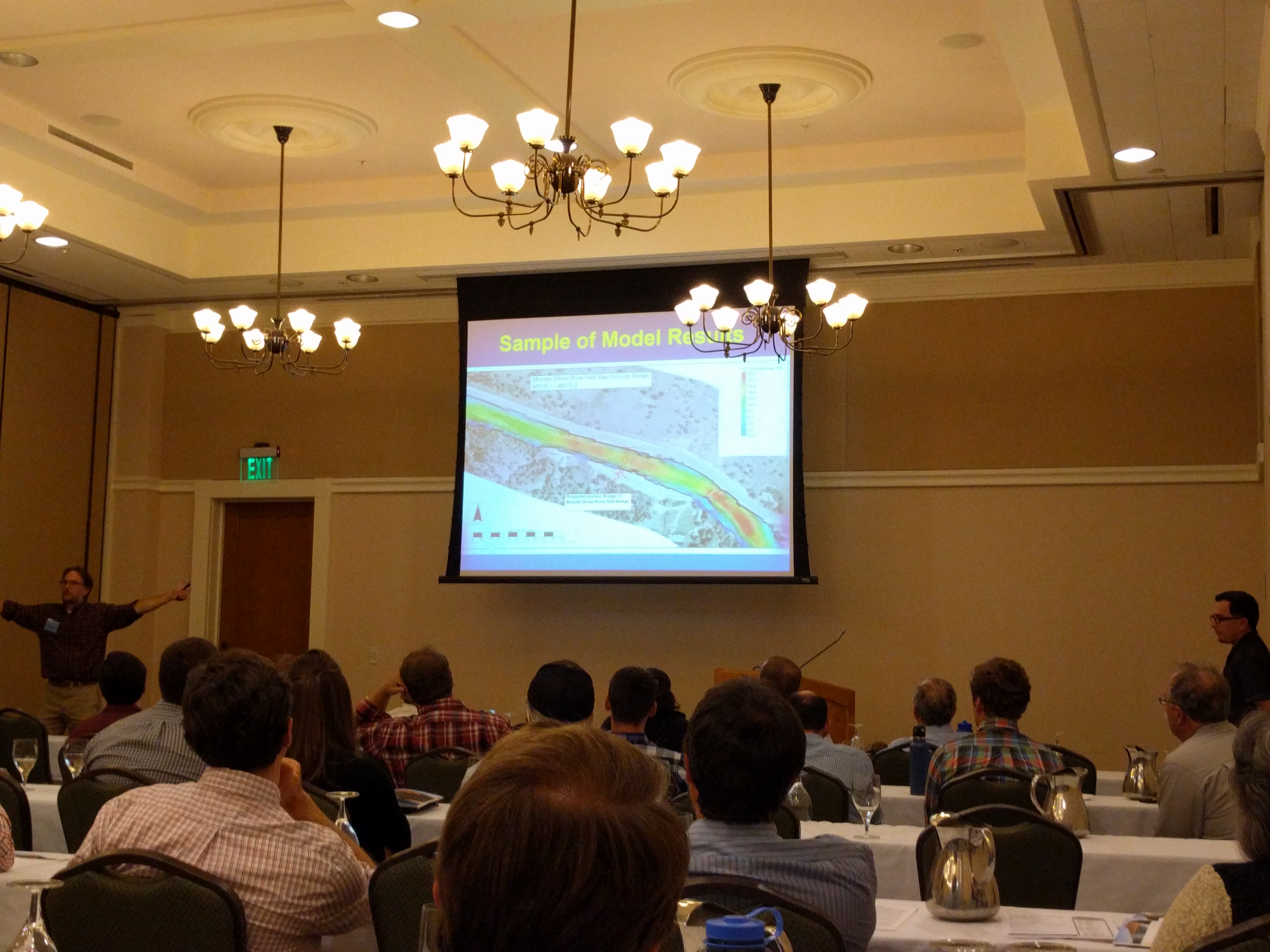
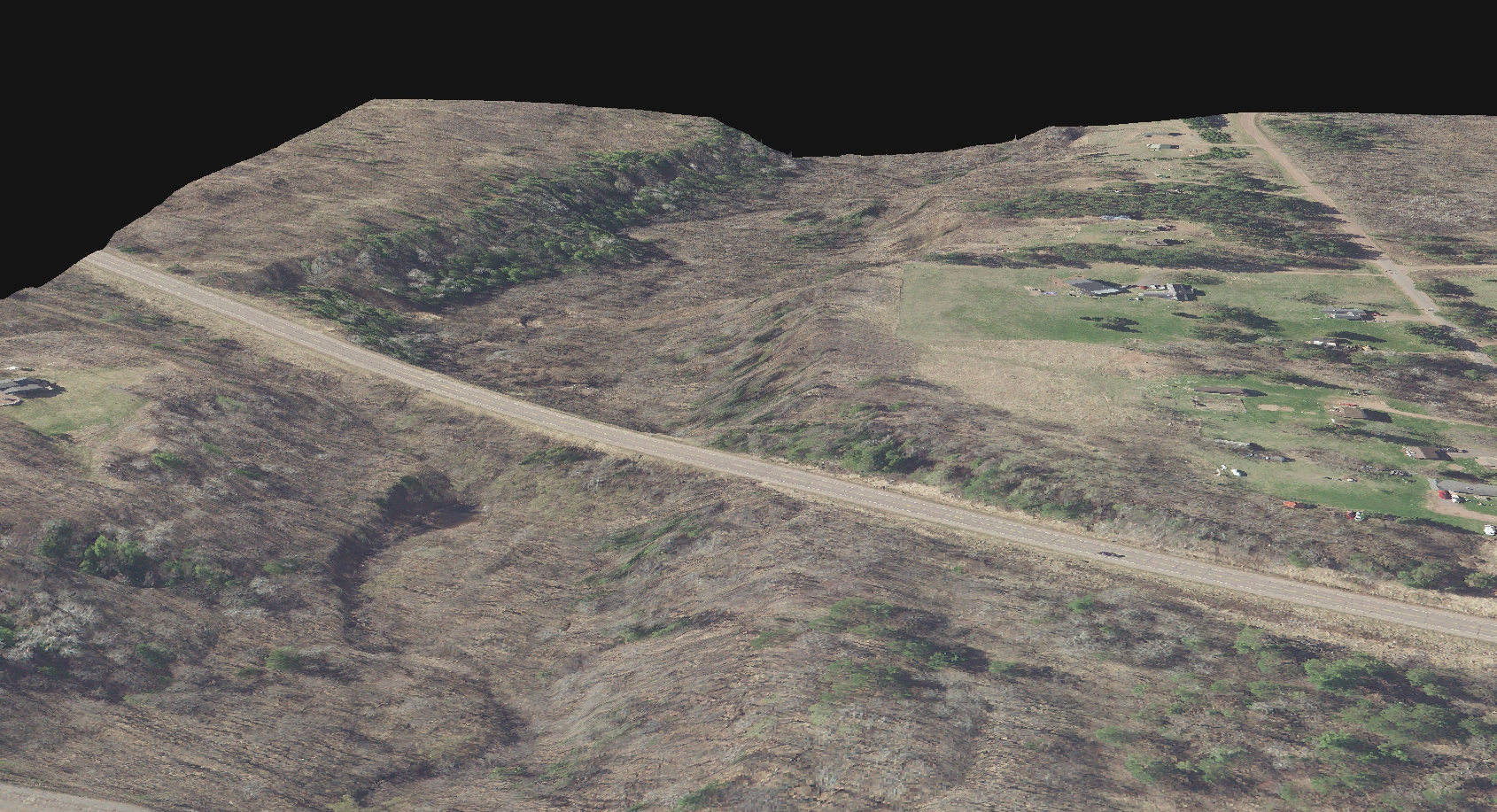
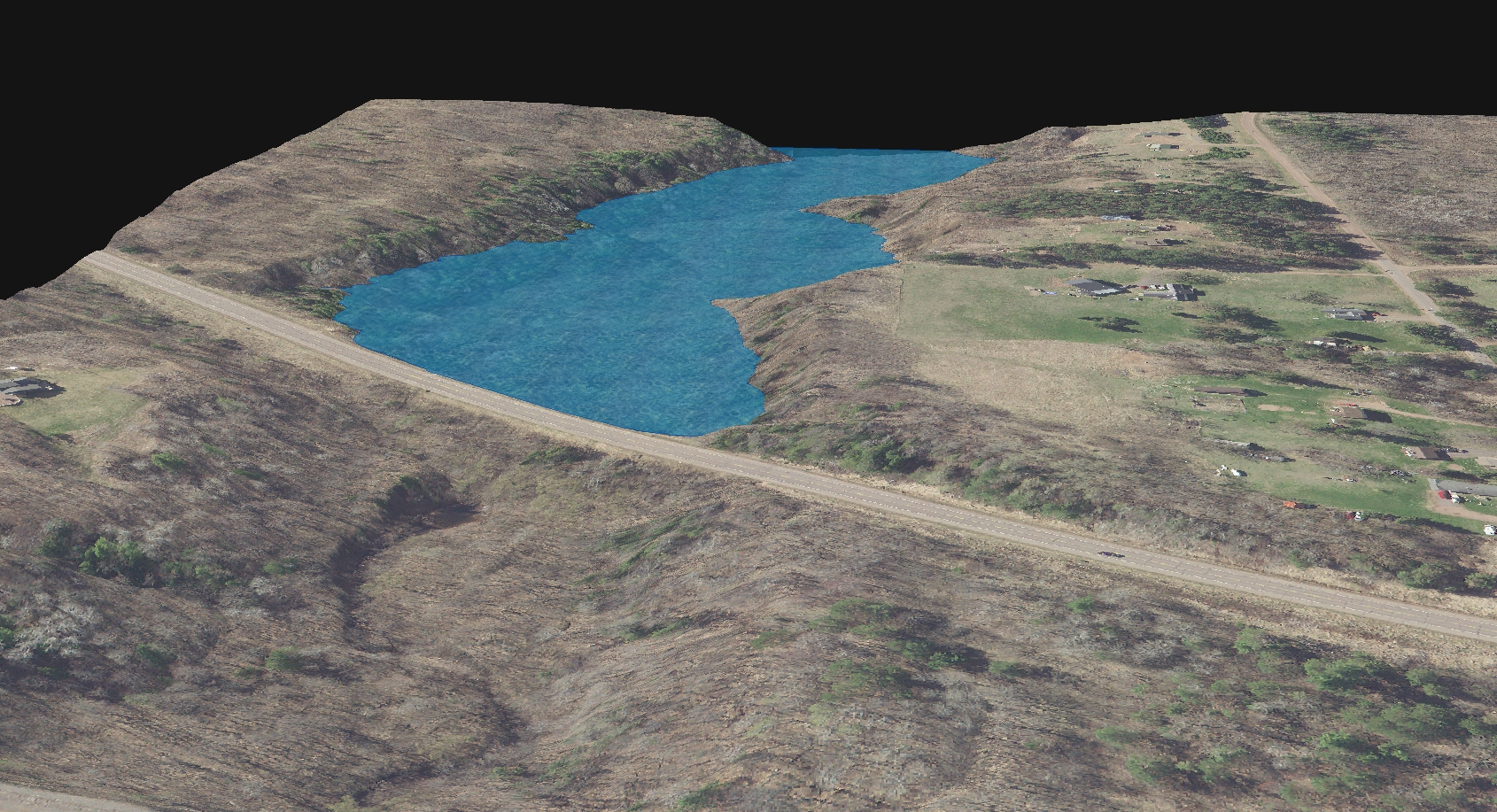
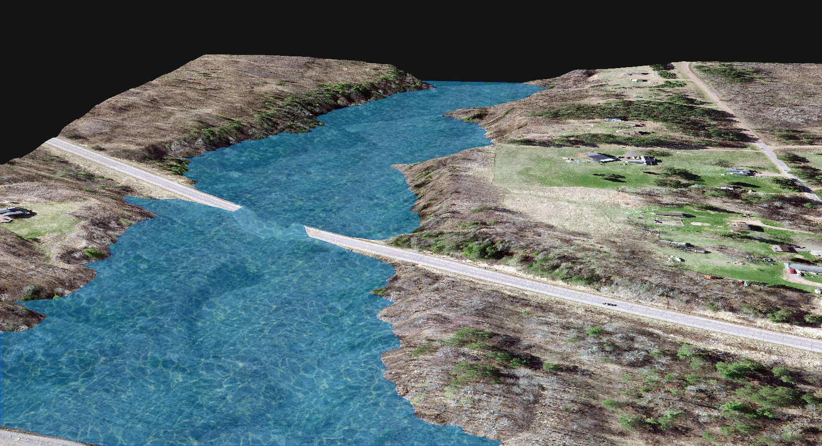
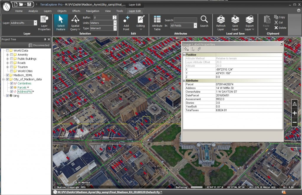
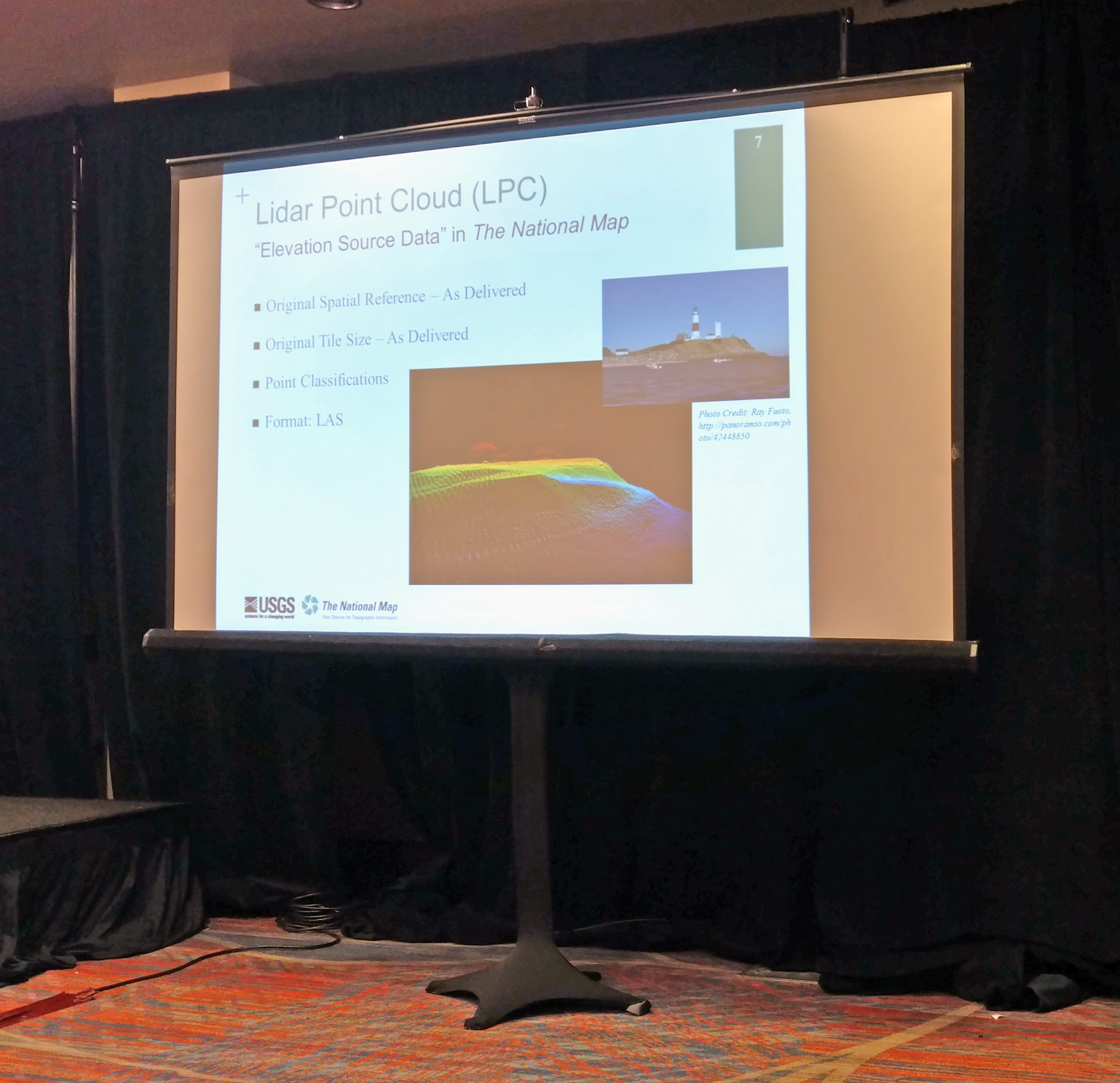
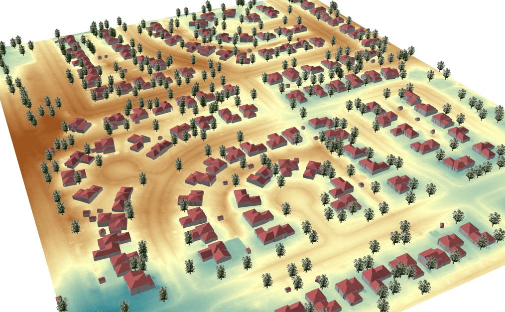
 Zach and Matt’s presentation at WSLS focused on LiDAR technology advancements, history of use in Wisconsin, and current examples of how surveyors and engineers are using the data around the State. Matt Vinopal also demonstrated how to import Lidar data into Civil 3D and practical implementation of lidar in day-to-day operations in an AutoCAD environment.
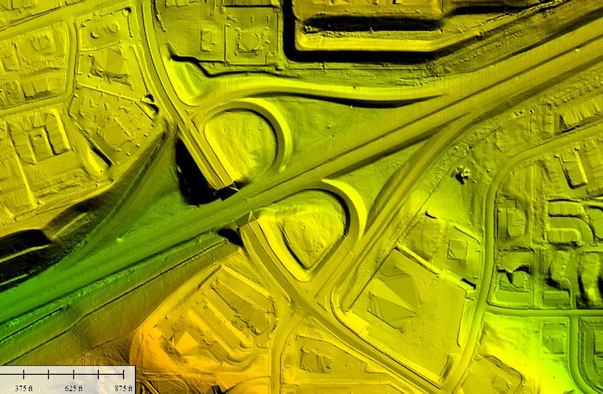
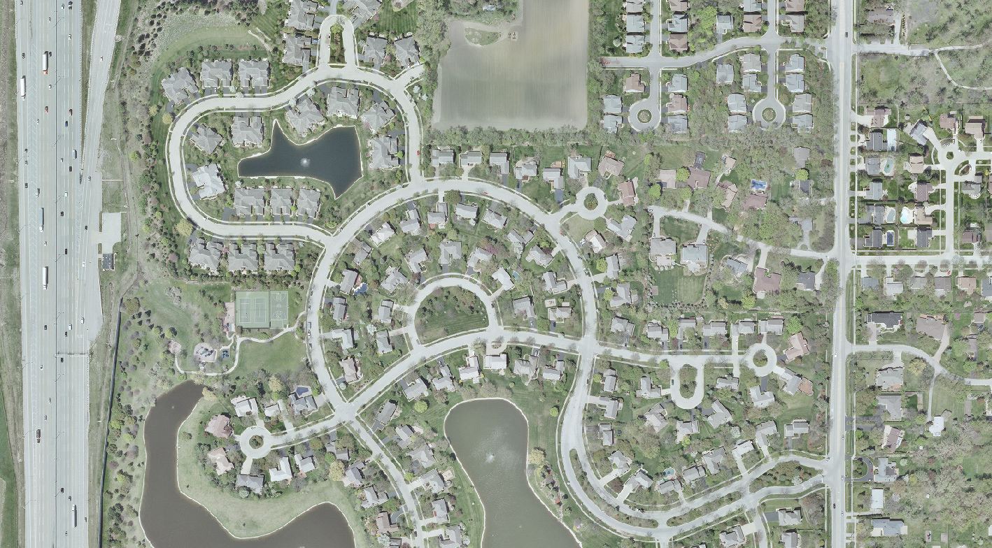
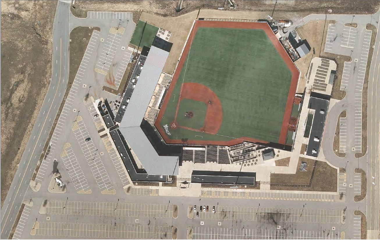
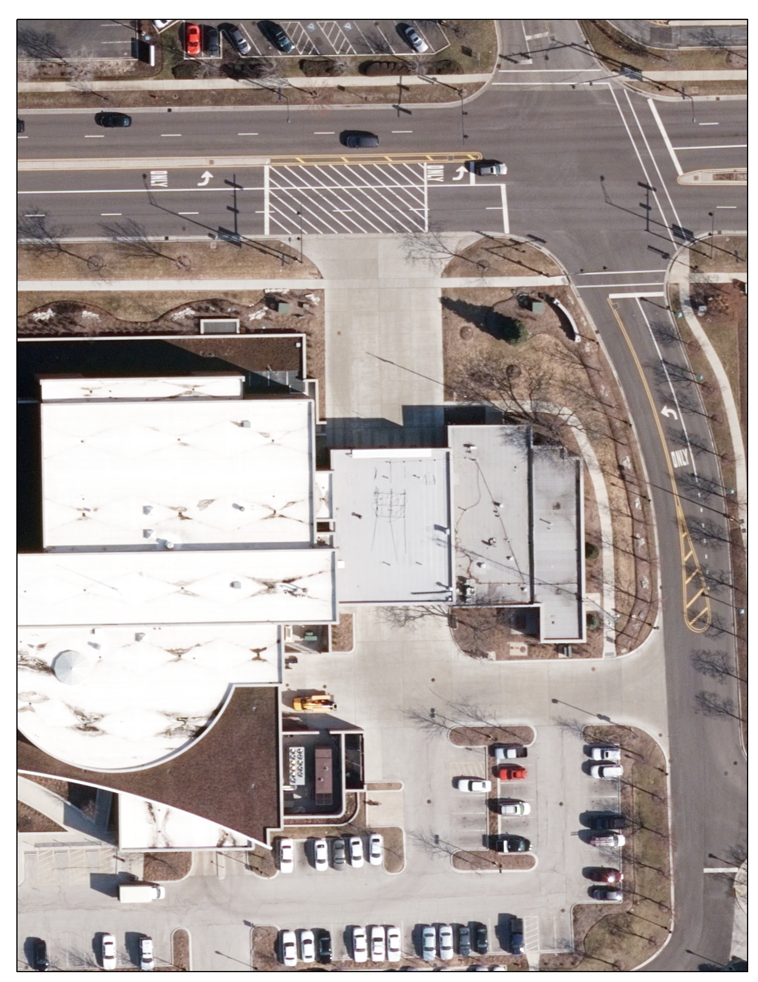
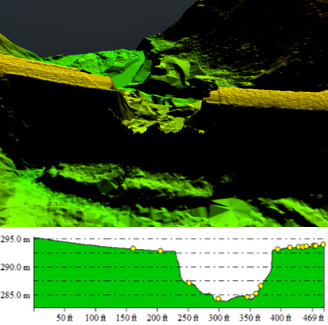
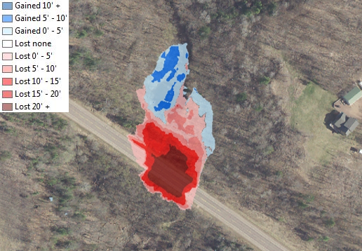
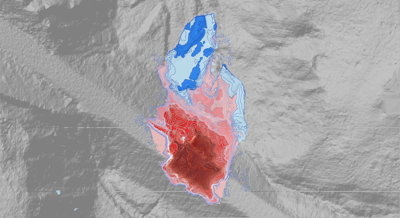
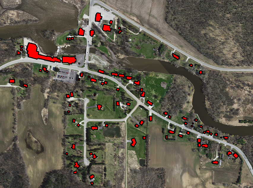
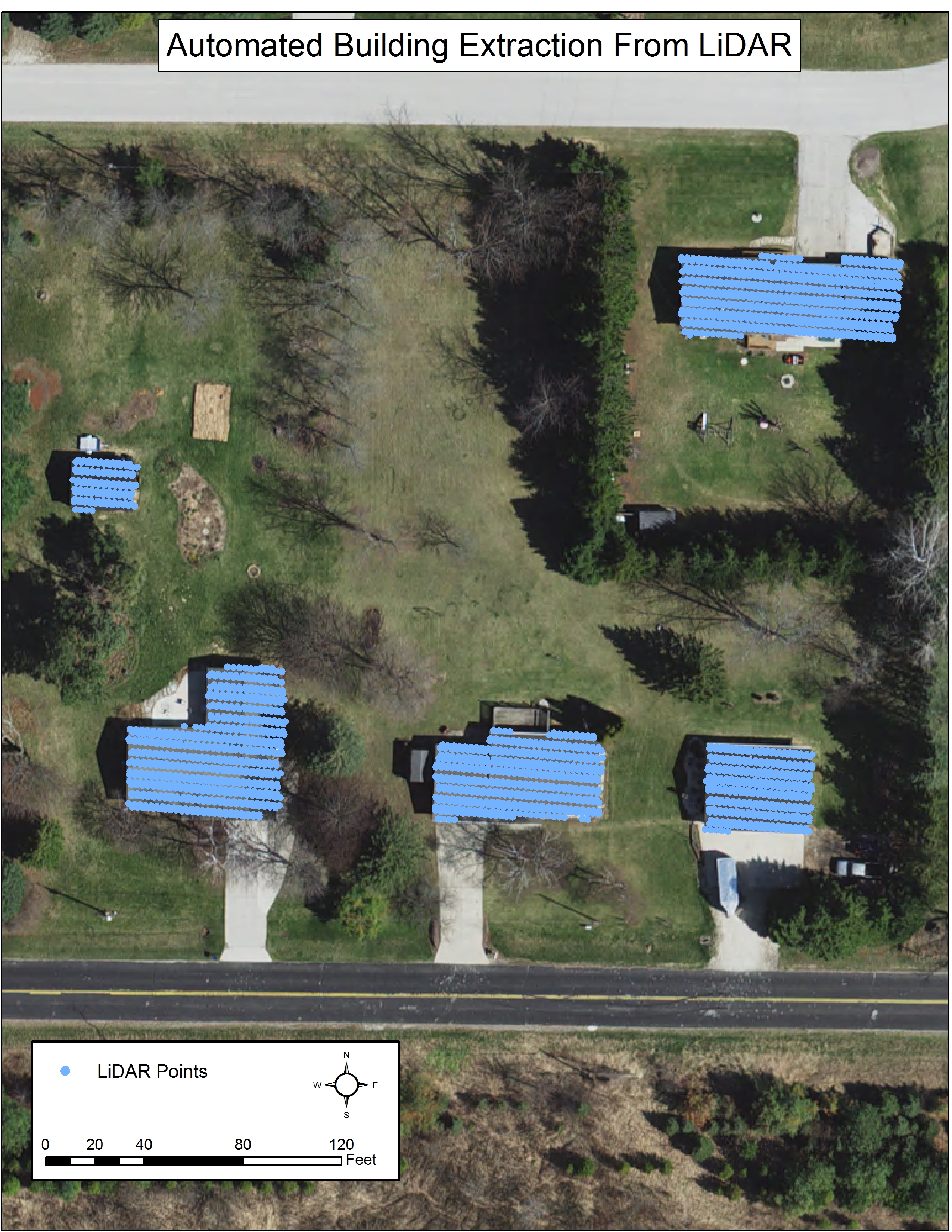
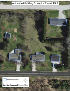
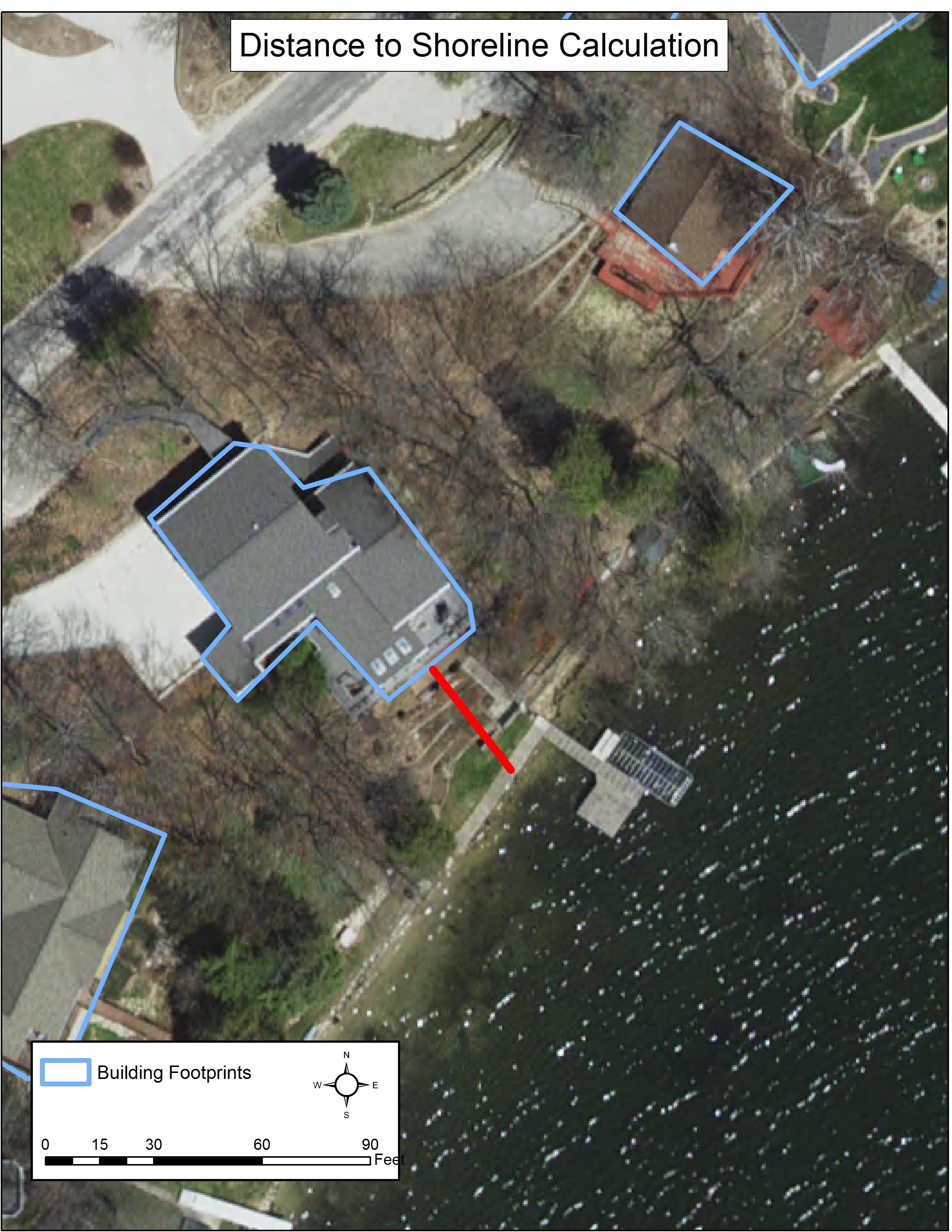
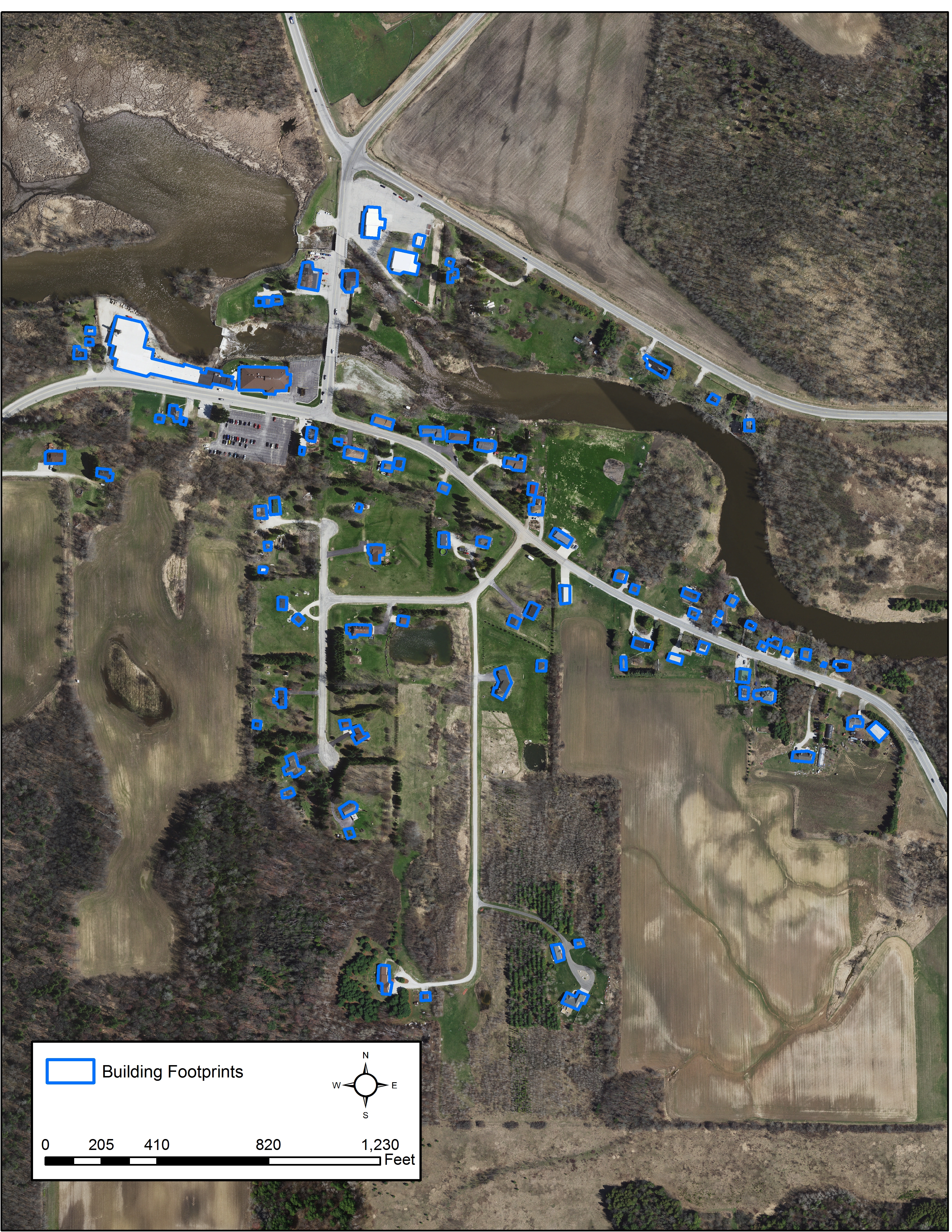
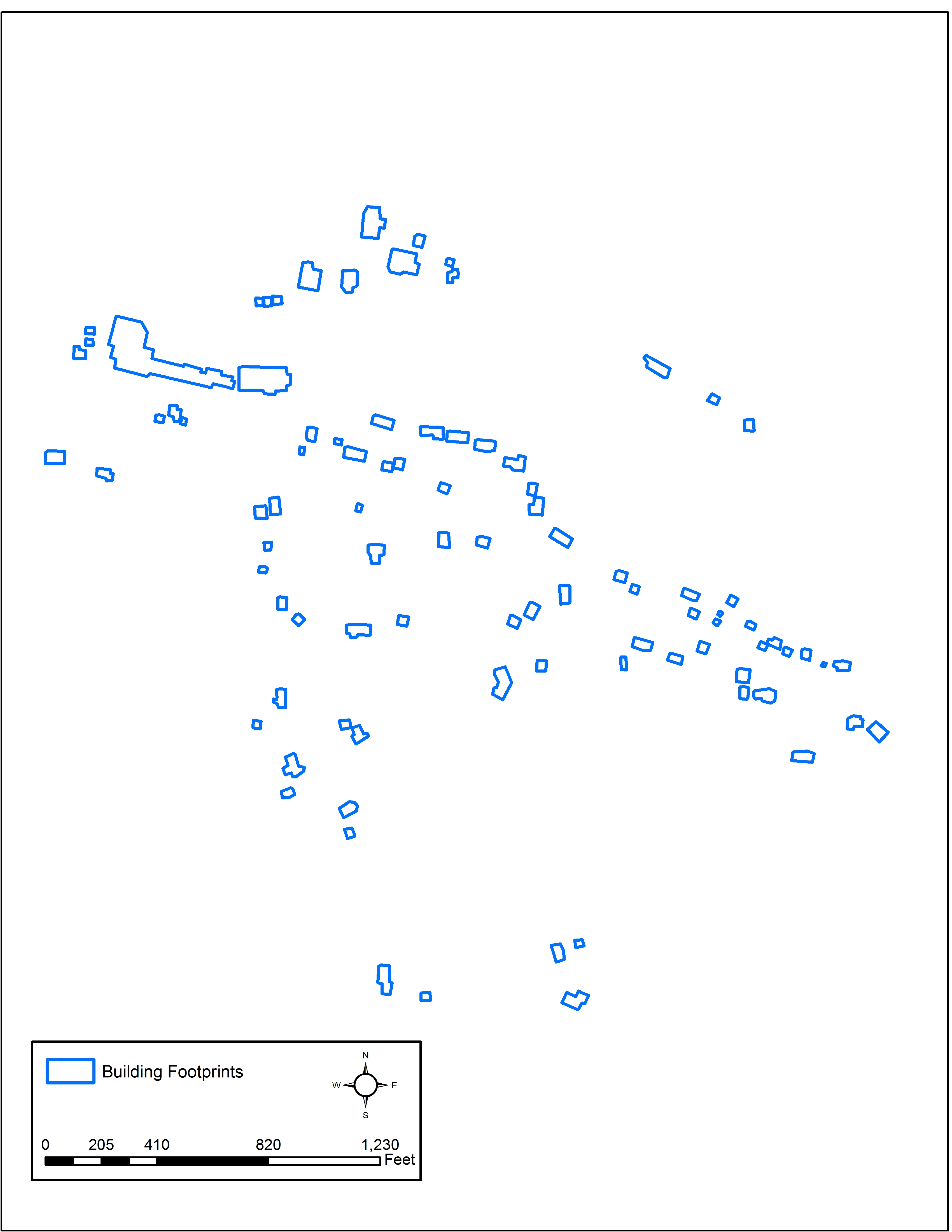
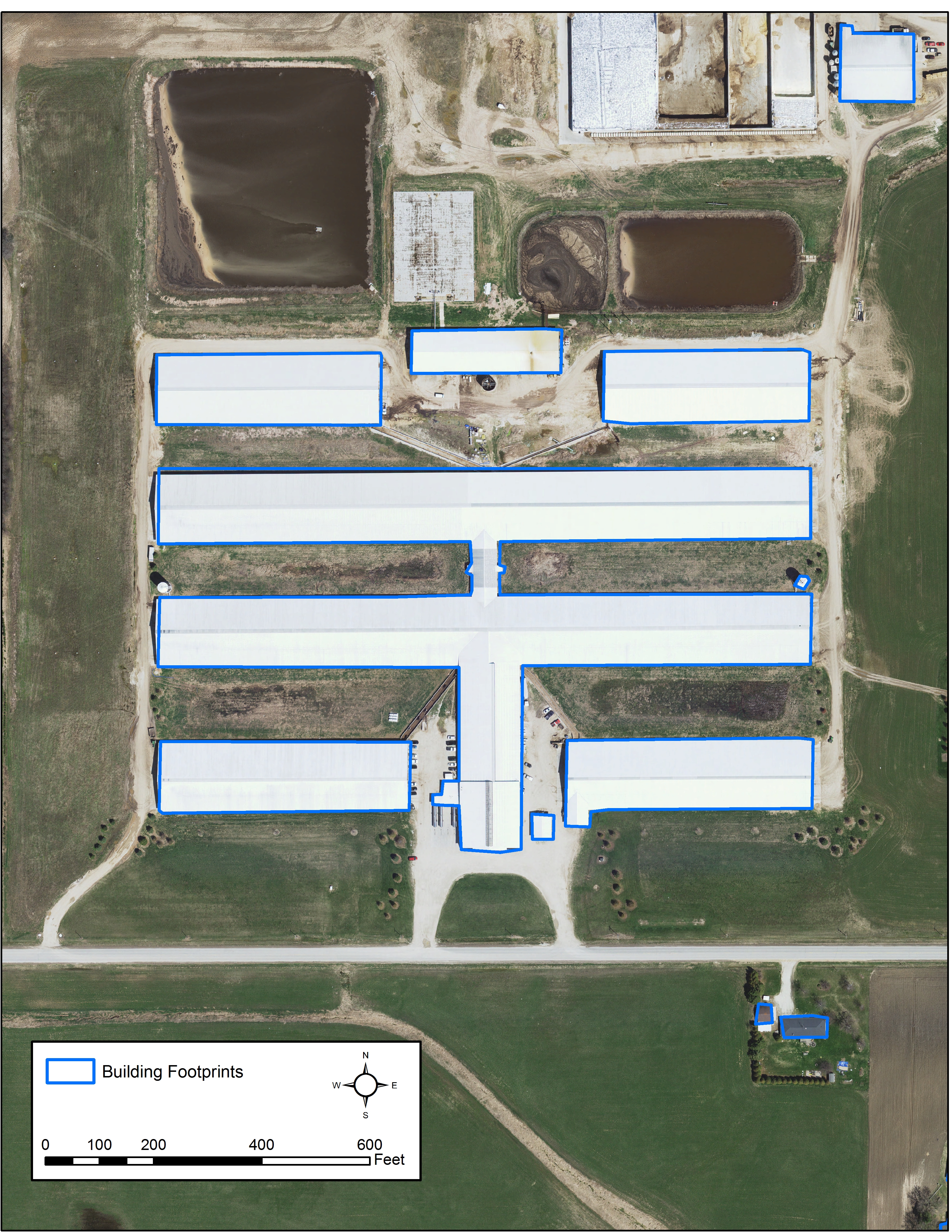
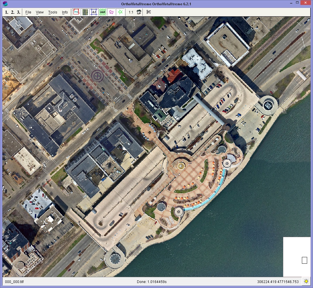
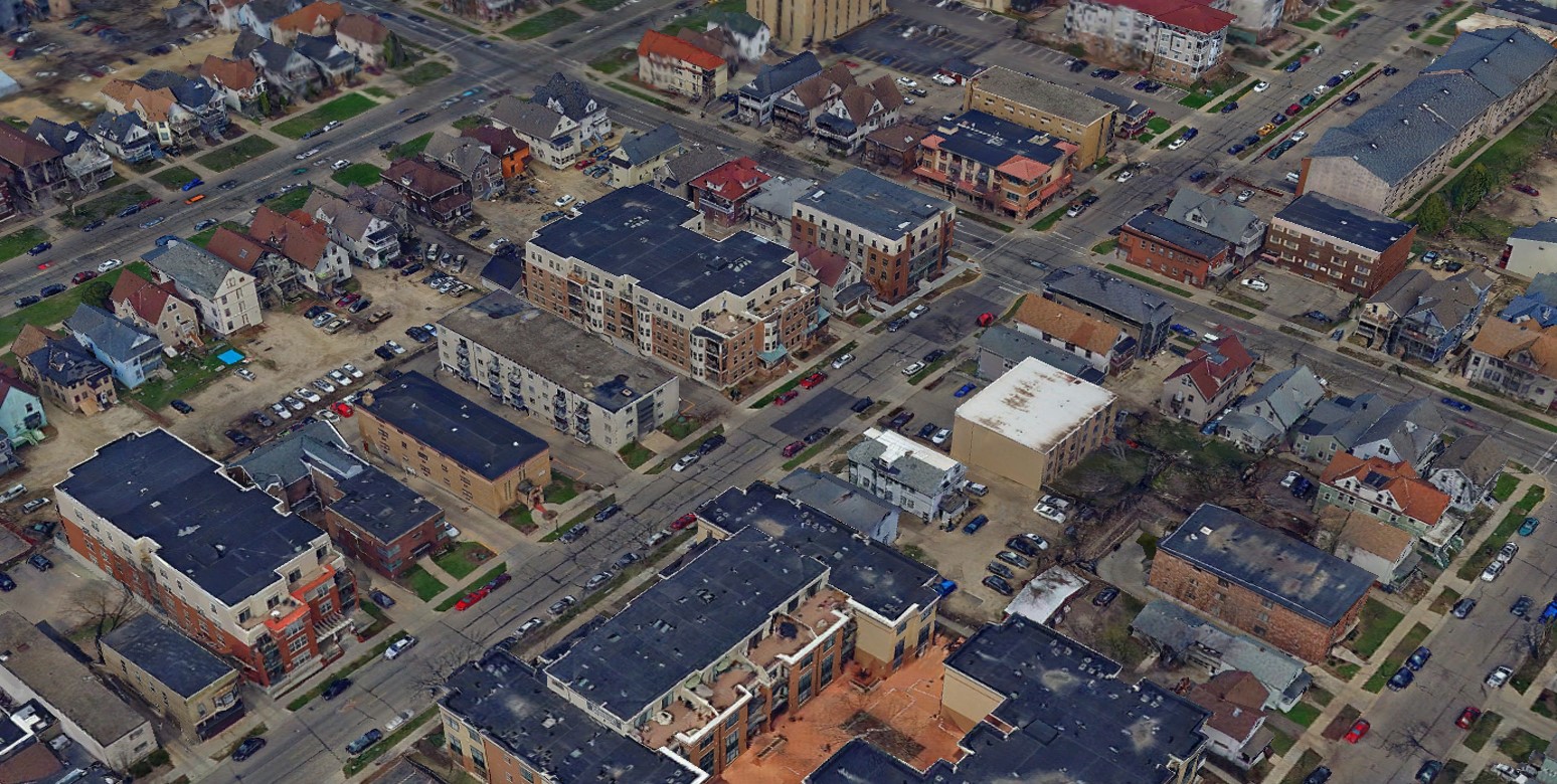
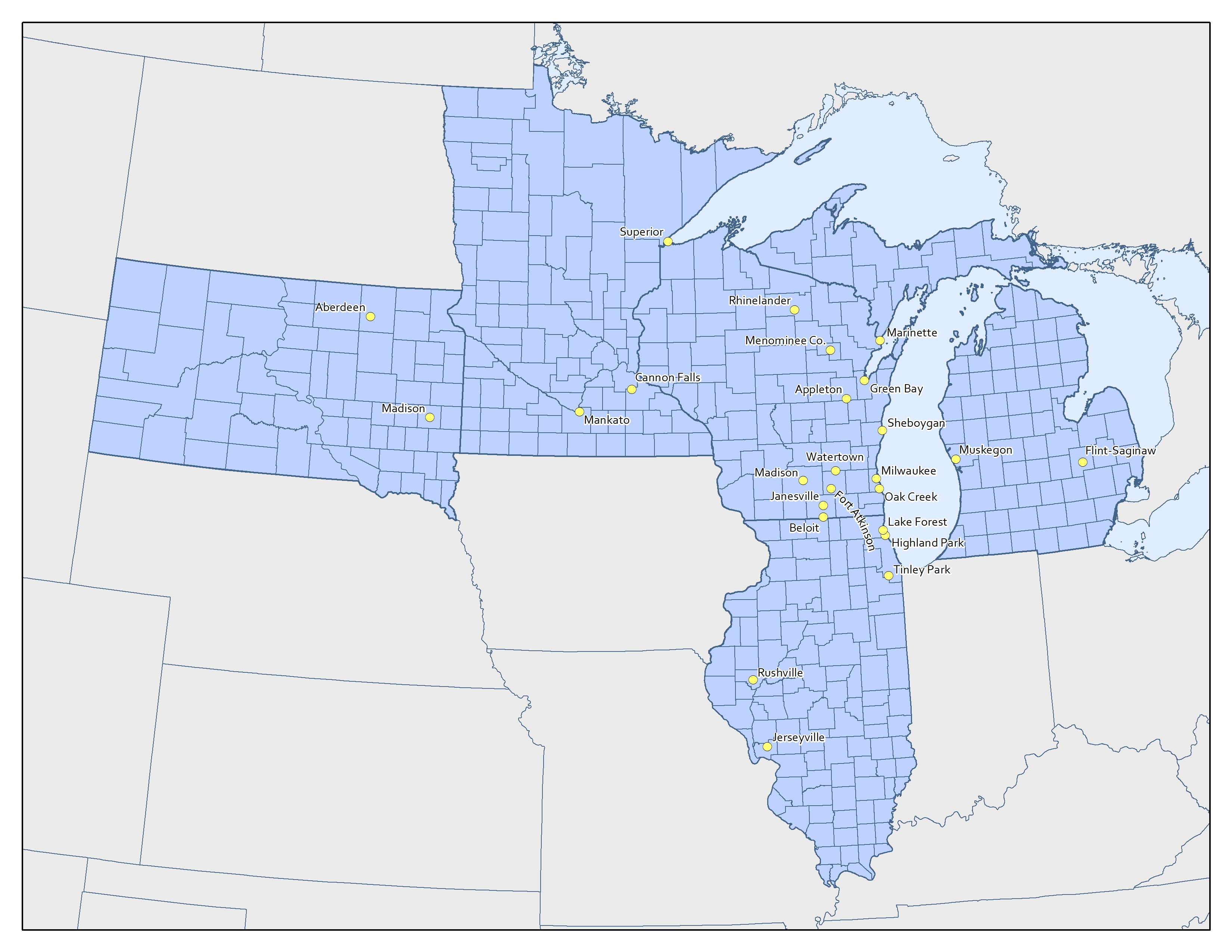
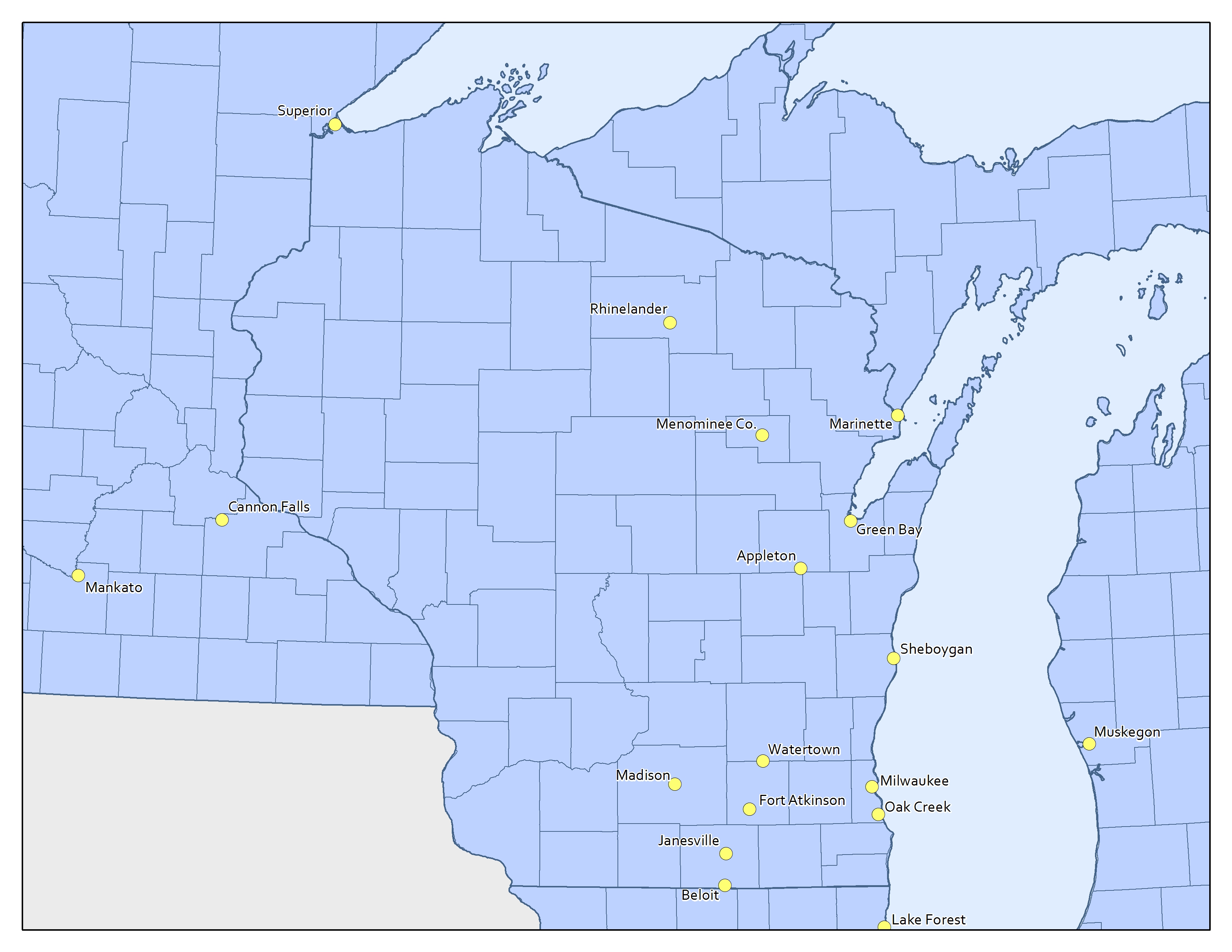
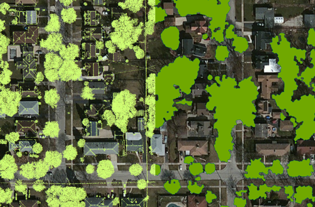
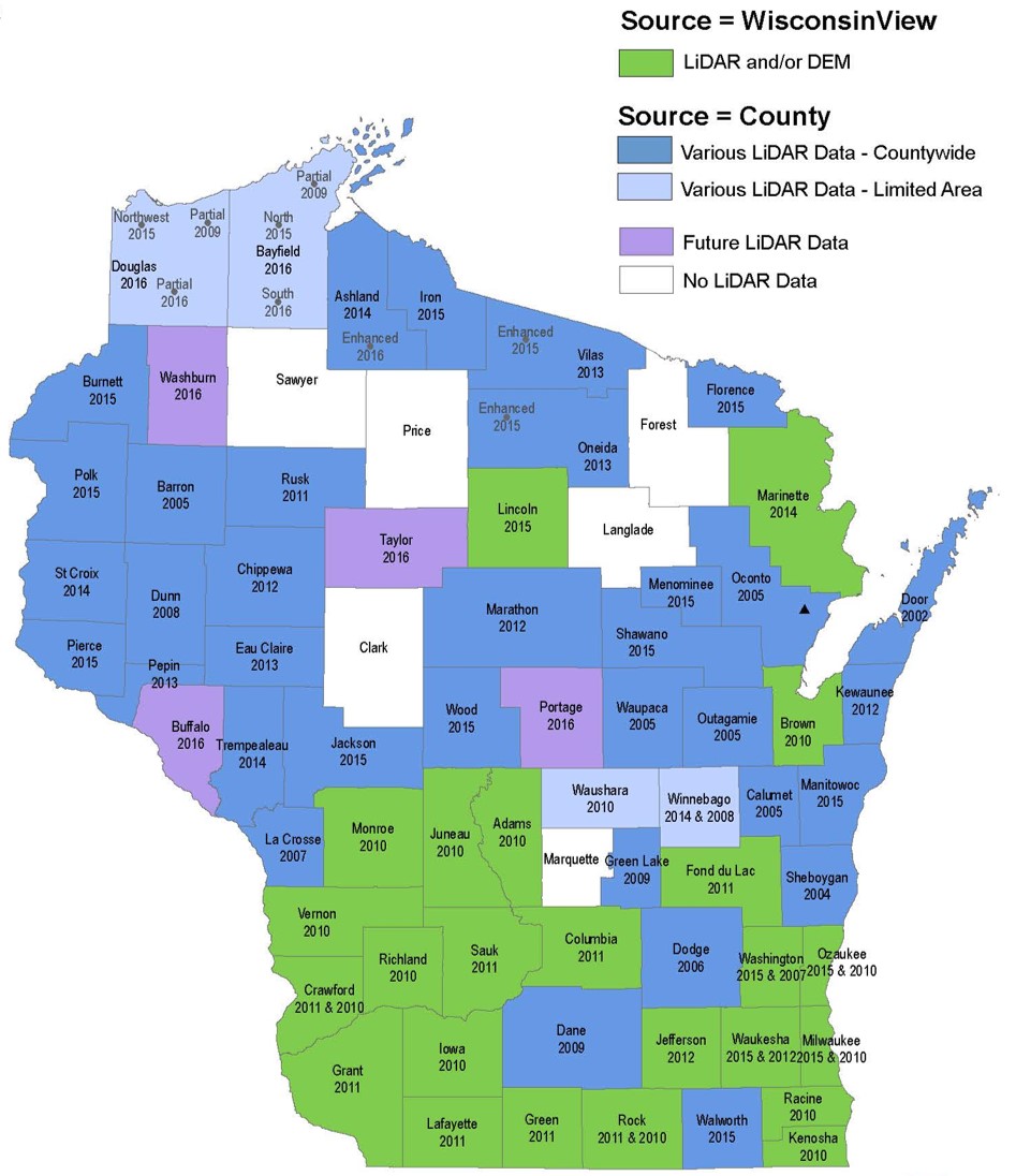 One of the topics of the presentation covered the status of existing Lidar in Wisconsin. Zach presented a map of the State showing which counties have existing data and provided an overview of ongoing Lidar projects and upcoming efforts to complete Lidar coverage for the remaining counties. As an example, Zach highlighted Ayres collaboration with several counties to secure grant funding through the USGS’s 3DEP initiative to secure high resolution, high accuracy Lidar data. Much of the Lidar data around the state is now available to the public through individual counties or through the State’s Wisconsin View portal.
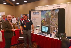
In addition to the presentation, Ayres was also on-hand in the exhibit hall at the event to share information about geospatial technology and discuss ongoing aerial mapping and survey initiatives around the state.


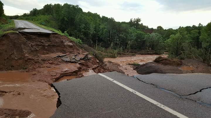
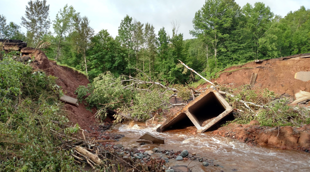
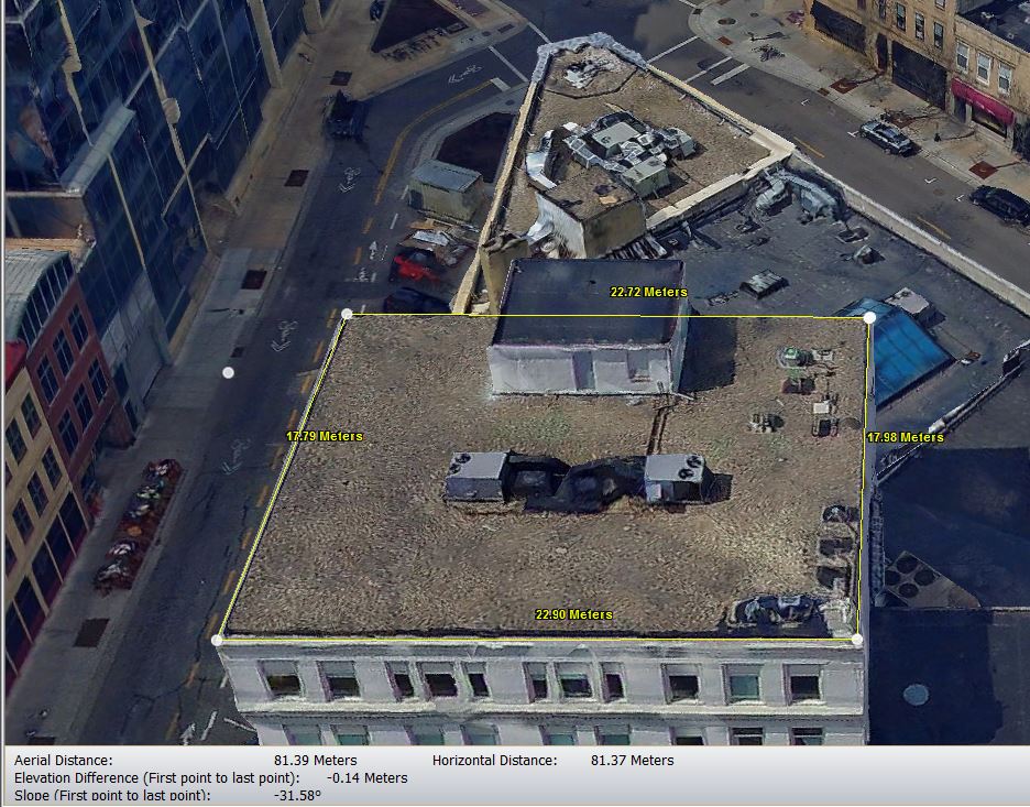
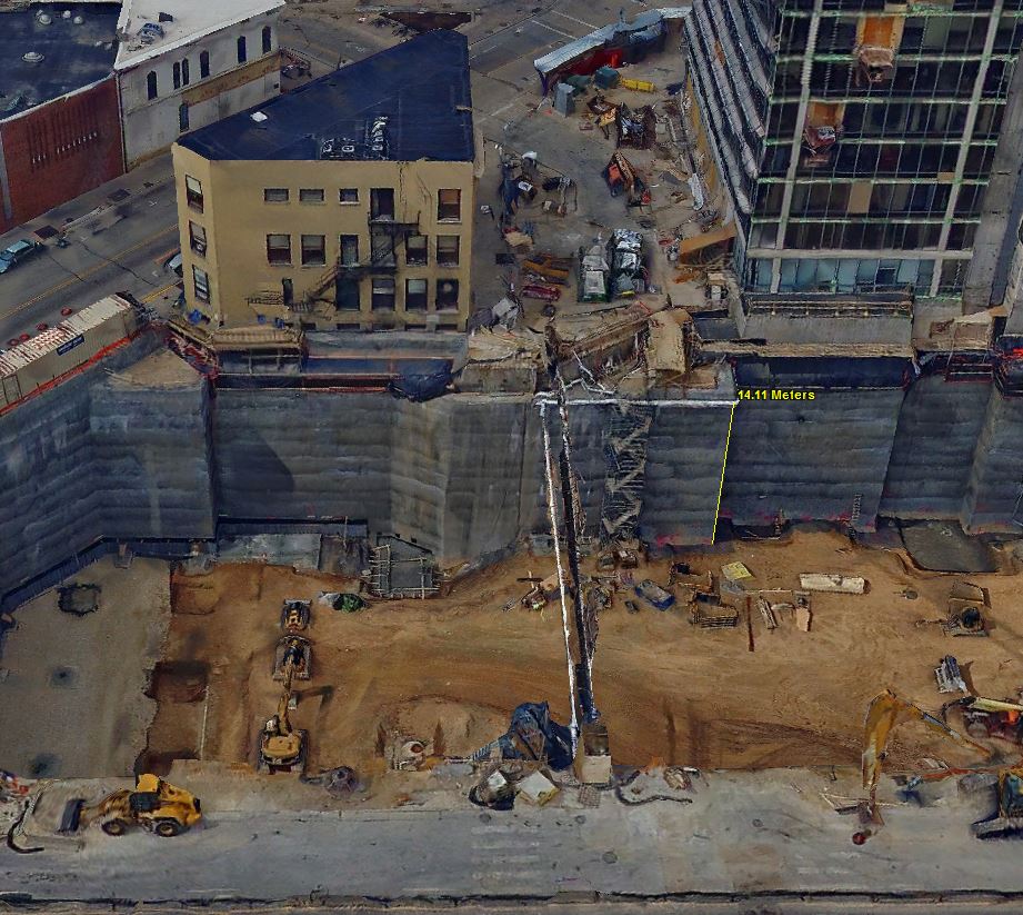
 While UAS may never replace the human element of a professional inspection or construction observation, this technology is already proving to be a useful tool to provide new perspectives for project sites and structures.


 Successful projects start with safety. Ayres Associates completes our UAS projects in accordance to the FAA’s Part 107 guidelines. Our Pilots in Command are all properly certified and go through strict internal training both in the lab and in the field. All Ayres projects follow strict safety protocols and our personnel invest the time needed to understand and appreciate the risks of the work environment before deployment of UAS equipment.
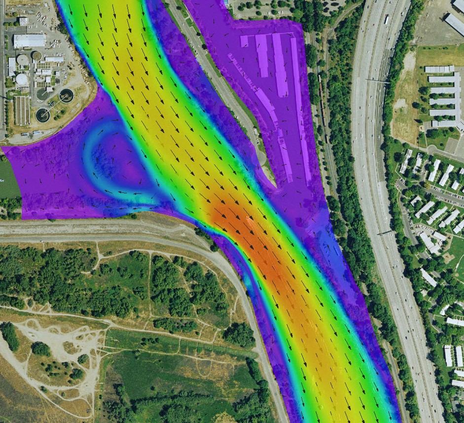
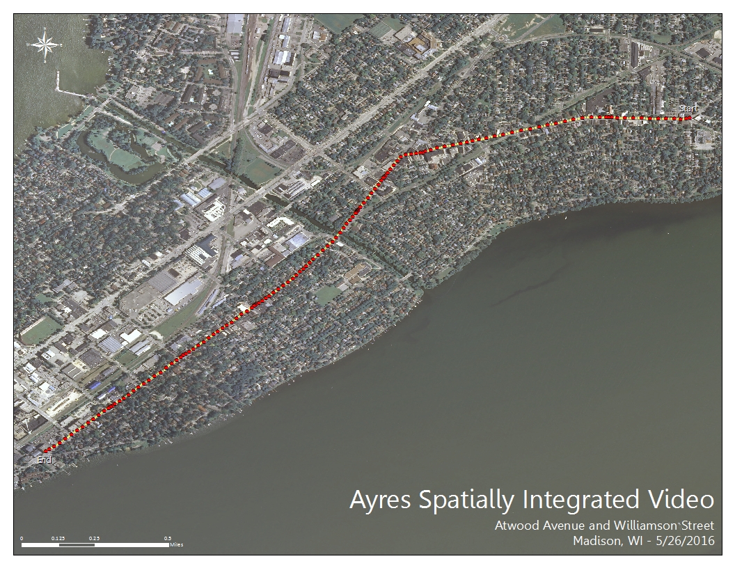
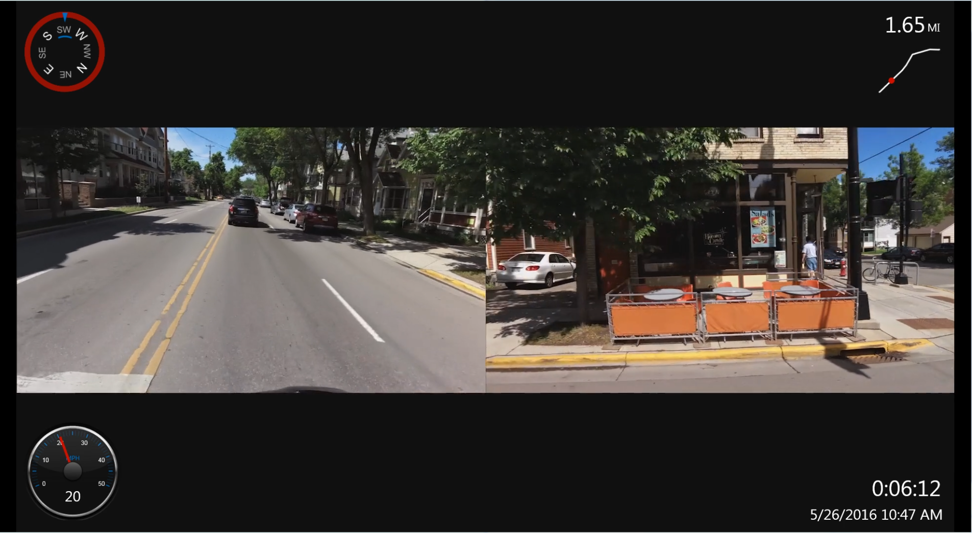
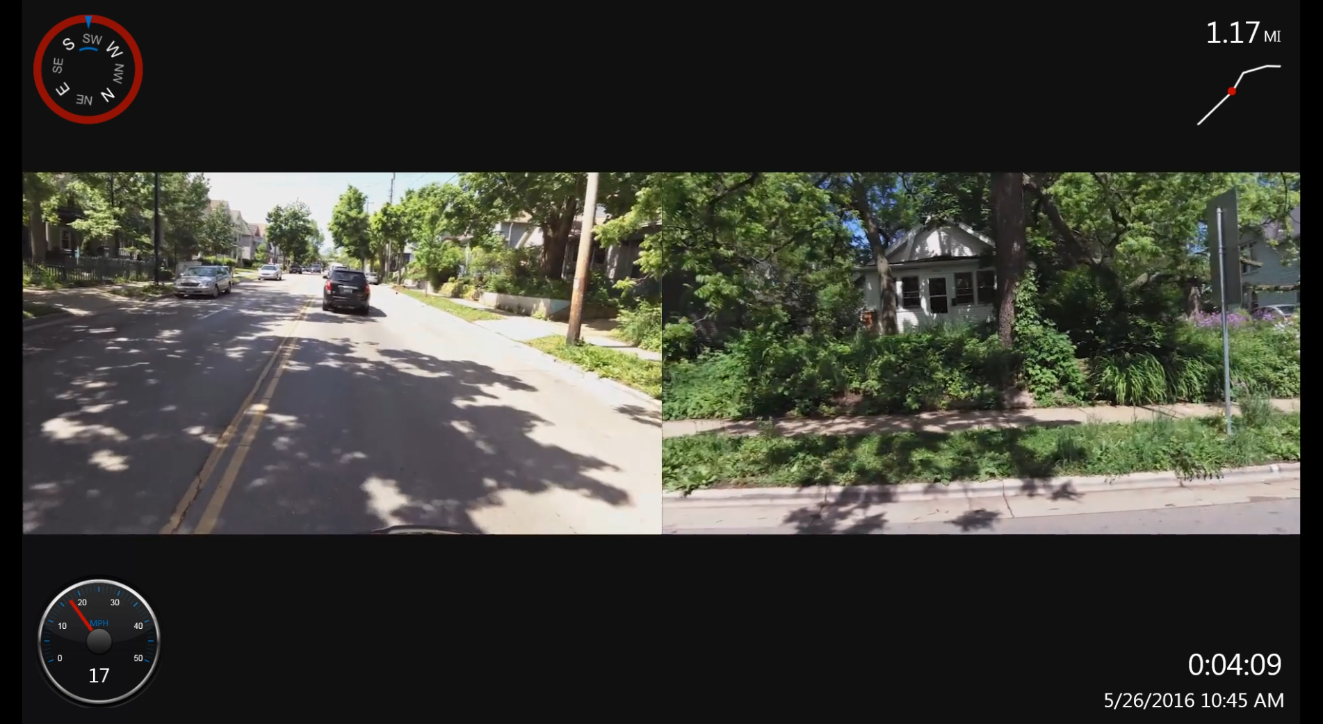

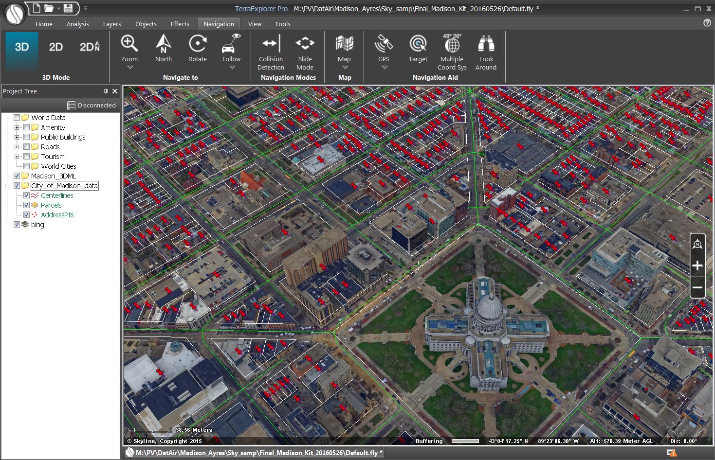
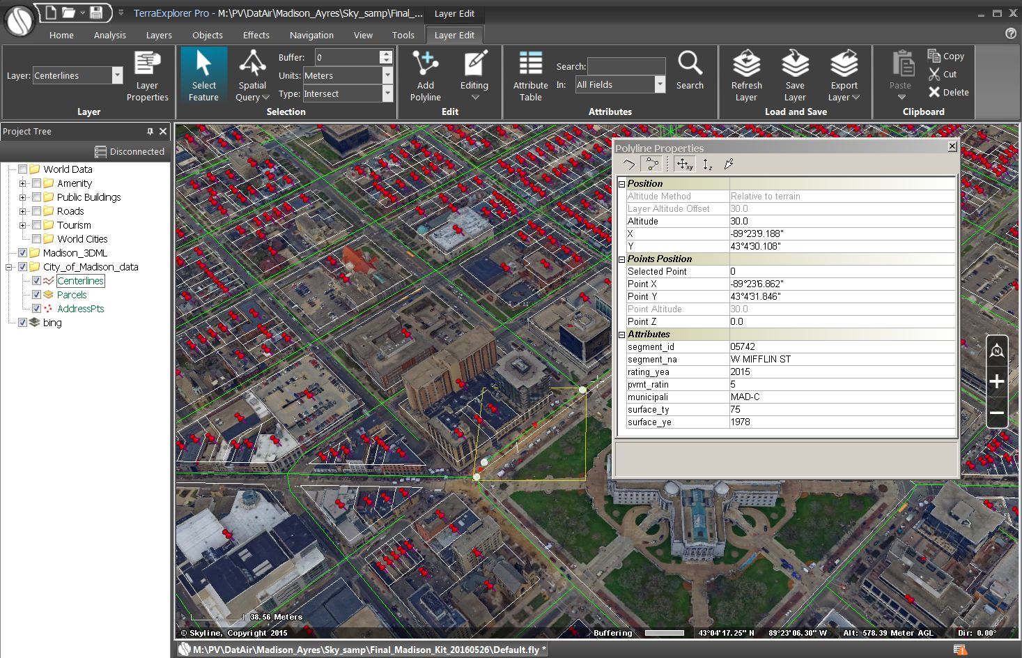
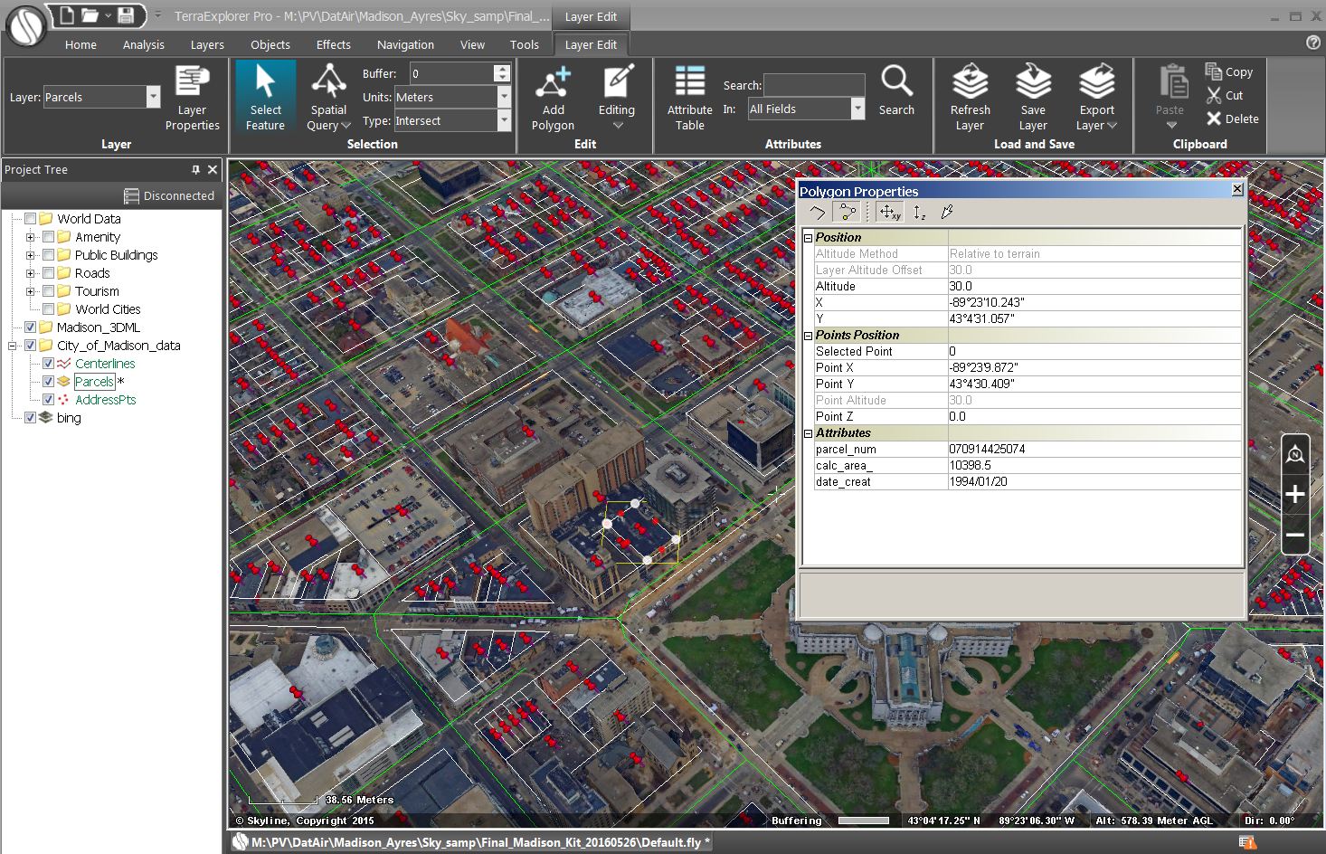
 The geo-referenced video can be formatted for play-back within a GIS platform. Road centerlines representing each segment are generated from the GPS data and output as shapefiles. These vectorized centerlines can be attributed with qualitative and quantitative information such as road names, date and time of capture, and observations. Additionally, date and time stamps can be inserted into the individual videos showing the exact date and time a video was collected.
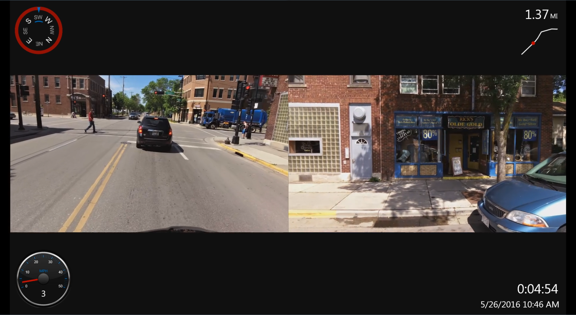
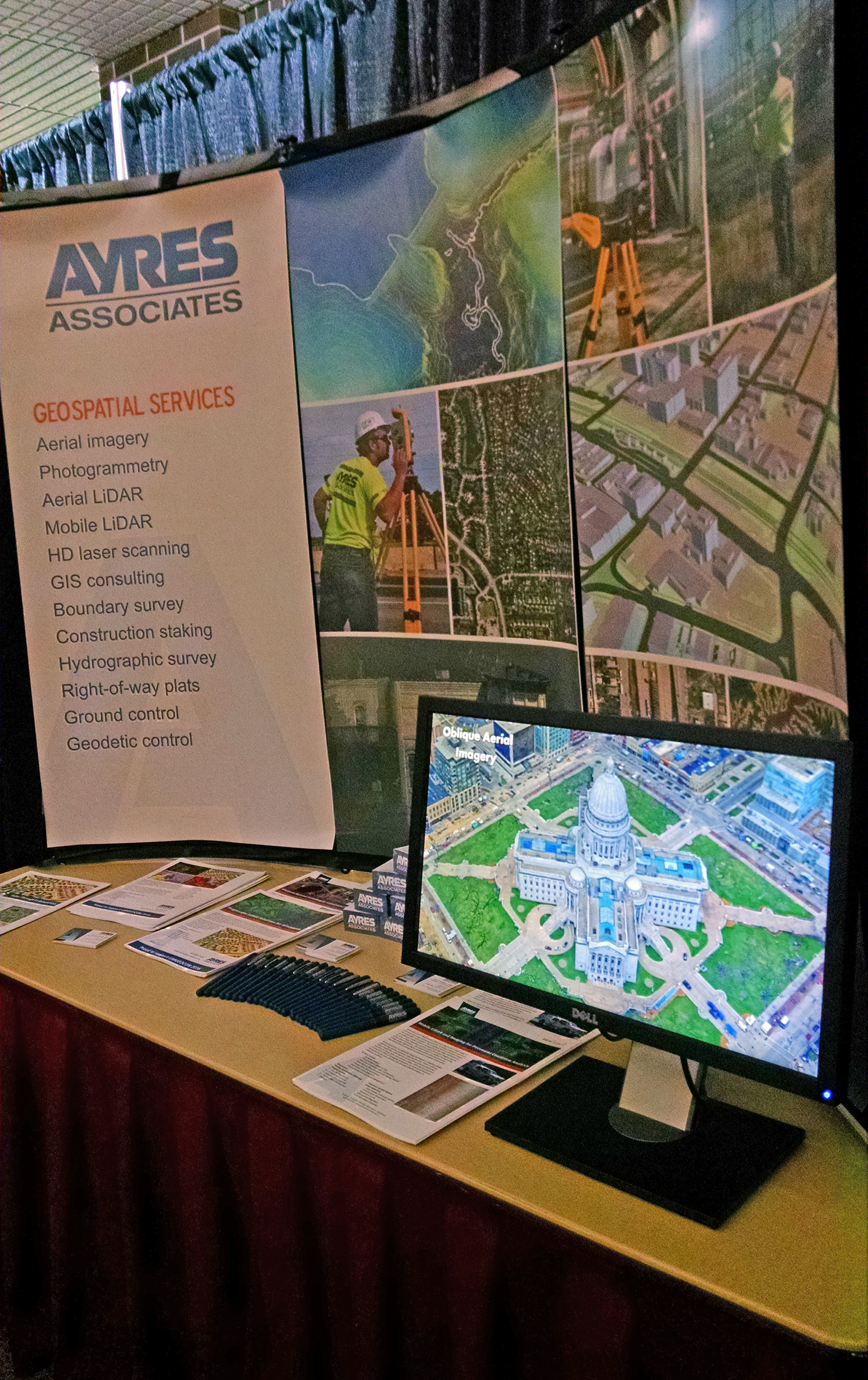
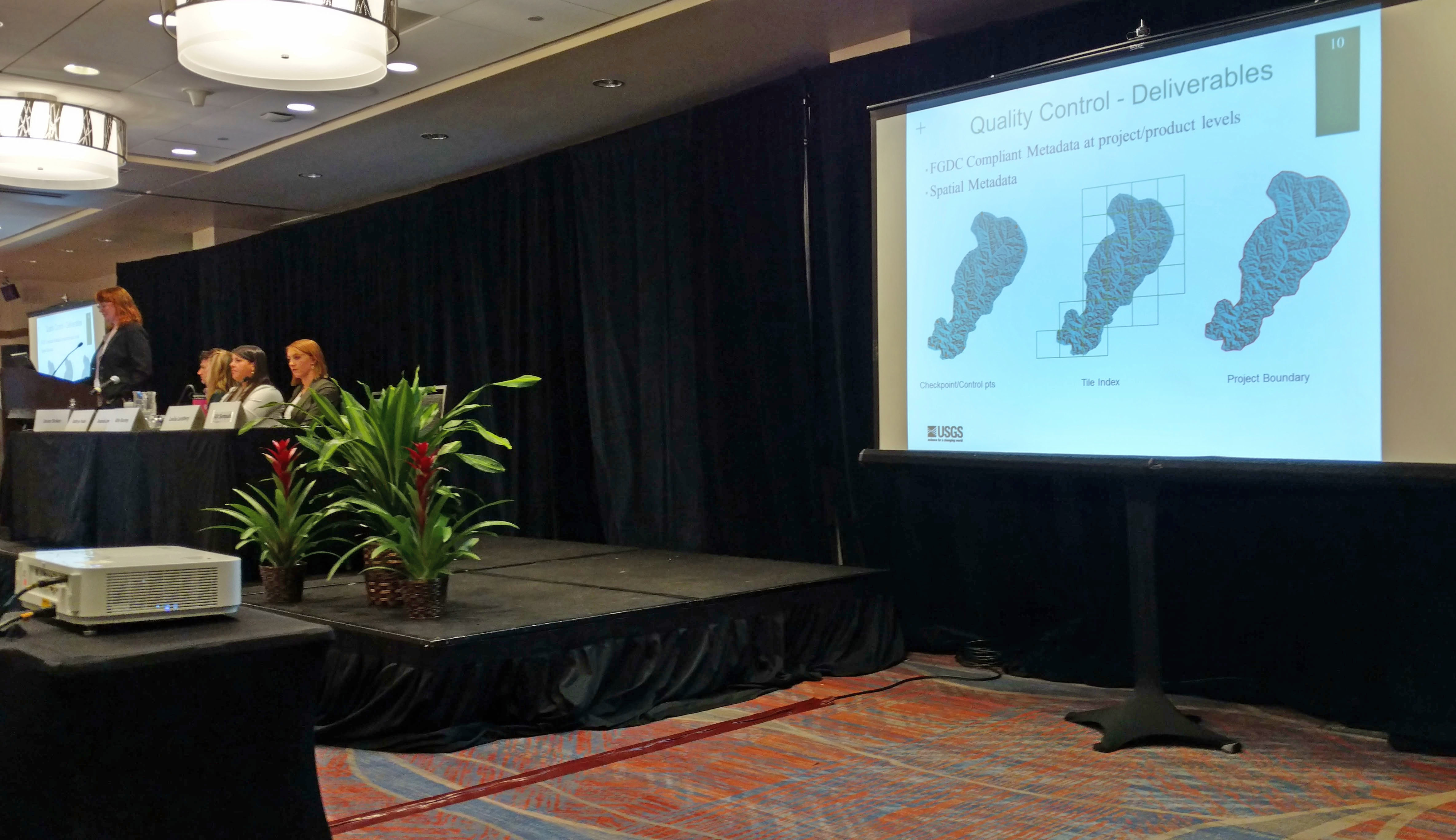
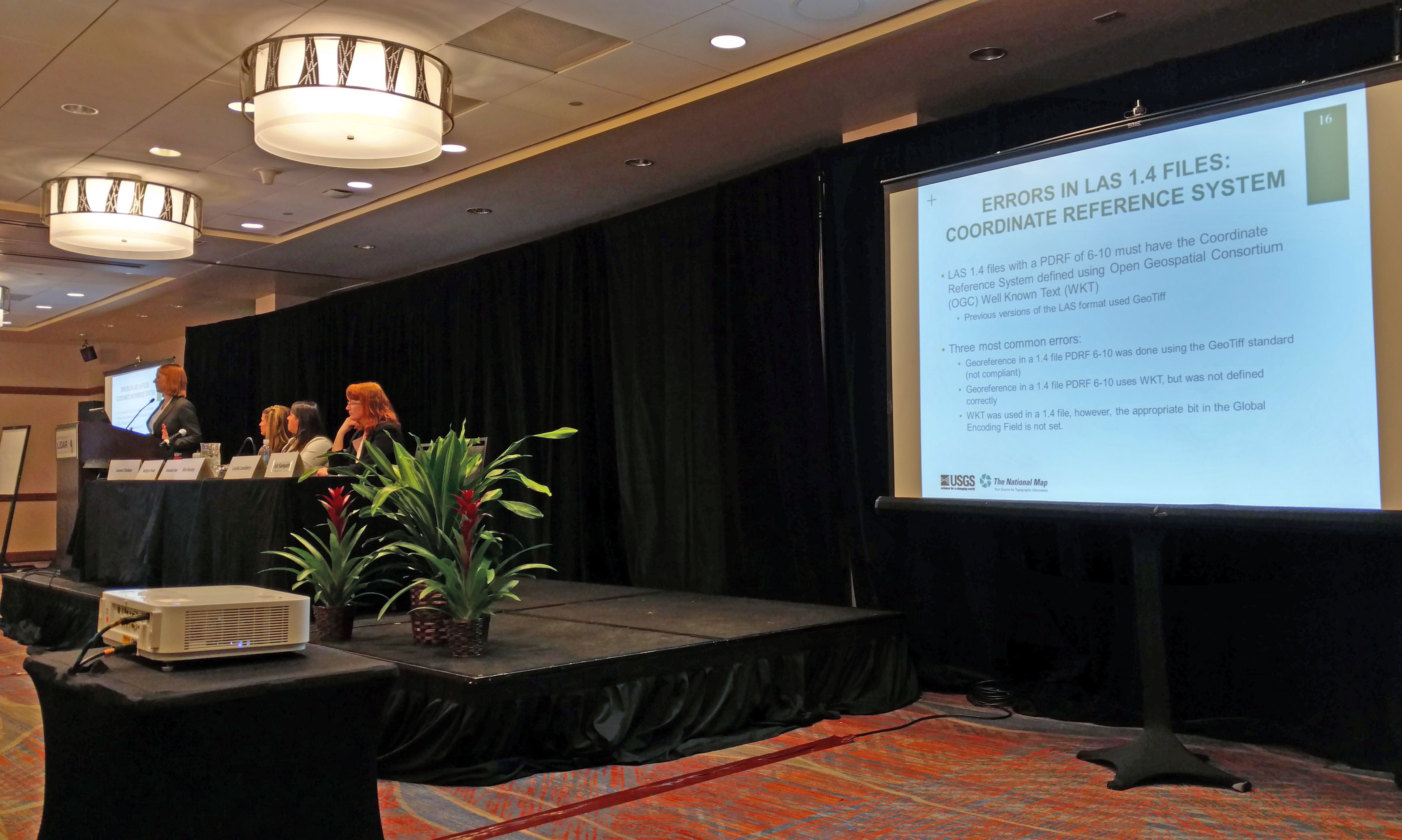
 UMGEOCON 2016 was a first-of-a-kind gathering of geospatial professionals and users from multiple states in the region: Illinois, Iowa, Minnesota, and Wisconsin. This was a unique opportunity to see how geospatial data is being collected, used, and managed for a wide range of applications, including transportation, utilities, local government, environmental, and commercial. Ayres is proud to support this conference and appreciated the chance to show off some of our new services.


Recent Comments