

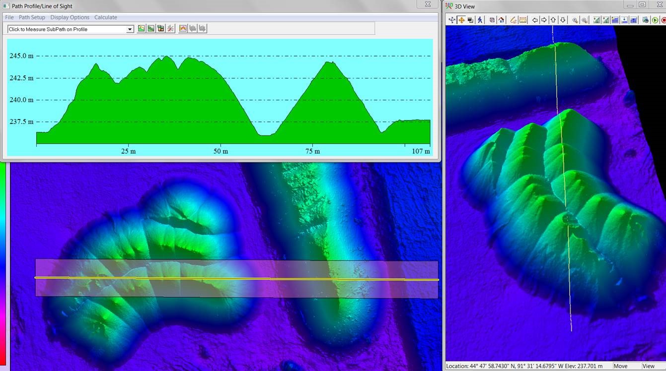
Plan and profile view of stockpiles at an active construction site.
Ayres Associates has always been driven to develop the best solutions to fit our client’s needs by utilizing a combination of advanced technologies and work flows. So, it should not be surprising that Ayres has embraced the use of Unmanned Aerial Systems (UAS) and now regularly integrates the data from such systems into its project solutions.
 The key, however, is to know how to accomplish this integration accurately and efficiently. Many UAS or drone-only operators are focused on the flying portion of the equation and have simply used out-of-the-box push-button software to deal with the data they collect with their UAS to make maps and have few tools to perform QA/QC on their data. Even if these operators have taken the time to add ground control points, teasing truly accurate data out of UAS data can be problematic. On the other hand, Ayres Associates has extensive aerial mapping experience with large and complex data sets and the computers and the professional software suites necessary to generate accurate contours, surface models, and planimetrics. While we may use common software like Pix4D as one part of our work flow, we are rarely satisfied with the output solely from this software since it’s not always the best tool for a bare earth surface model. Often times we complete the process with one of our many professions software suites.
These are all issues related to dealing with just UAS data alone, without considering the expertise required to combine UAS data with data from several sources. Ayres Associates has completed projects that involve integrating data from UAS, manned aerial photography, along with aerial, mobile and static terrestrial LiDAR and ground survey. We have extensive experience with all of these different types of data, so we can efficiently apply them to projects as needed.
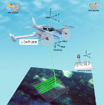
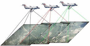
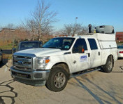
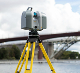
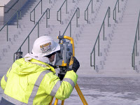
There are projects where the best solution is to acquire aerial lidar combined with imagery of the overall site, mobile LiDAR on the roadways, static LiDAR under the bridges, ground survey within wooded areas or to capture critical drainage features, and UAS to capture areas that may have changed since the overall flight was completed.


These are some of the issues that Ayres Associates addresses while combining data sets derived from different technologies:
- When designing the project data collection effort, it is imperative that you consider the different levels of accuracy of each technology and how to best apply each method to the appropriate areas of the project site.
- Your control survey needs to be designed to accommodate the different requirements and accuracies of each technology. Some technology needs greater accuracy vertical control to allow it to fit with adjacent data sets, such as using differential leveling versus GPS or total station derived elevations on control points.
- When combining all these different data collection techniques you must be careful to track the collection dates and location/extent of that portion of each data set used. This is very helpful in conveying to the client the full story of the base data that their project is built on. Some projects have data collected over a span of several years and it is very helpful to know the currency of each data set and when to replace portions of your data that no longer reflect the current field conditions.
- You need to decide if you will combine the data into one seamless data set or do you maintain separate data sets and utilize software functionality to use all the data at one time.
- With overlapping data sets you must decide where to best transition from one data set to another while maintaining an accurate representation of the actual field conditions and providing a smooth 3D surface free of jumps in the data.
- The different acquisition technologies have varying data densities (distance between data points) that affect the visual representation of the surface model. You may have static LiDAR data with millions of data points collected only hundredths of a foot apart immediately adjacent to conventional ground survey with data points being 10 to 20 feet apart. This data looks very different when presented side by side. This is where it is very important to pick a good transition location and the length of that transition.
- The visual representation of different data sets should be uniform or if you want users to notice that there is a different source you may want the data sets to look different.
 Each technology has it strengths and its weaknesses. Knowing where to use each and how to apply them is critical. Unmanned Aerial Systems are relatively new and you need a firm that can recognize, test and confirm those strengths and weaknesses as the technology rapidly progresses. You don’t want the latest fad in technology to be applied to your project without it being thoroughly tested.
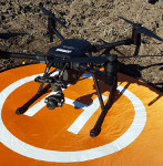
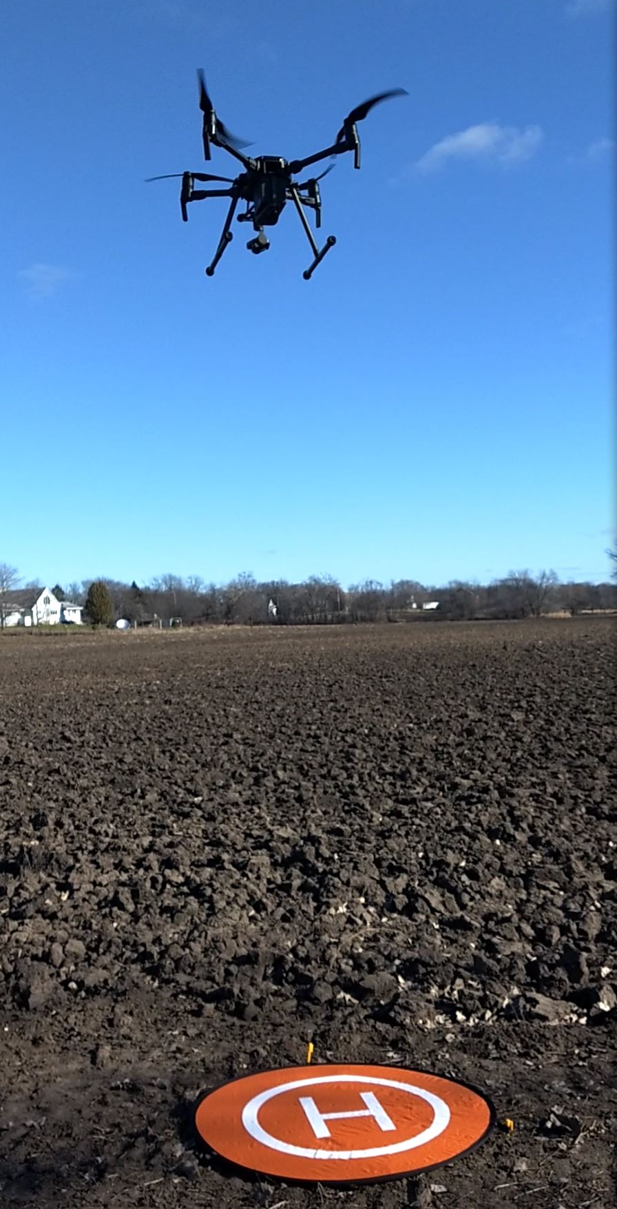
Ayres Associates recently added a DJI Matrice 200 UAV with a Zenmuse X4S sensor to our fleet to address our growing demand for UAS data integration. As FAA regulations governing UAS operations evolve, Ayres and Associates will continue to expand our UAS offerings and the integration of this technology with our firm’s already extensive capabilities.


Recent Comments