

 The science behind aerial imagery, orthoimagery production, and photogrammetry, and what it means for Wisconsin
Our aerial mapping experts will be hosting an “Orthos 101” webinar on May 3, 2018 at 1pm.
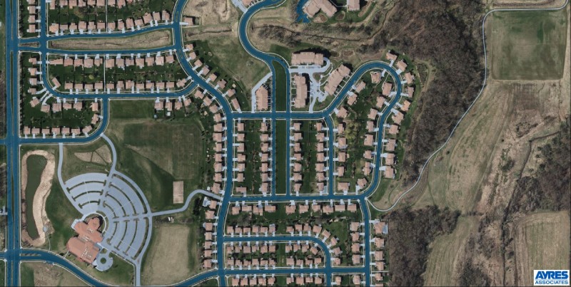
In today’s world of drones, obliques, and LiDAR (light detection and ranging), you may be asking yourself if the principles of photogrammetry still matter. We assure you that they definitely do! In fact, the science behind aerial imagery and photogrammetry is more relevant today than ever.
In this webinar, our aerial mapping experts will review the basics of aerial image acquisition, airborne GPS, ground control, aerotriangulation (AT), orthorectification, orthoimage editing, and ortho mosaicking.
We’ll review the concepts of digital photogrammetric mapping, with a focus on features that can be accurately mapped from common scales of aerial imagery. Lastly, the webinar will cover the newest industry specifications and standards for high-resolution orthoimagery and reiterate why it matters in Wisconsin.
Webinar registration link will be coming soon. Stay tuned!


Recent Comments