Cutting Culverts into Lidar DEM’s
 Lidar has become an important tool for management of water resources and for designing mitigation efforts for localized flood events. While regional issues have driven topographic mapping efforts for counties, watersheds, and floodplains, the high accuracy and high definition Lidar surface models are now being applied to micro-drainage solutions. However, the lack of culvert information with these surface models can present an issue for proper modeling of drainage patterns.
Incorporating culverts into a surface model is a simple process and can support important local and regional initiatives including:
-
Erosion Vulnerability Assessment for Agricultural Lands
-
Point, and Non-point Pollution Control
-
Stormwater Runoff and Retention
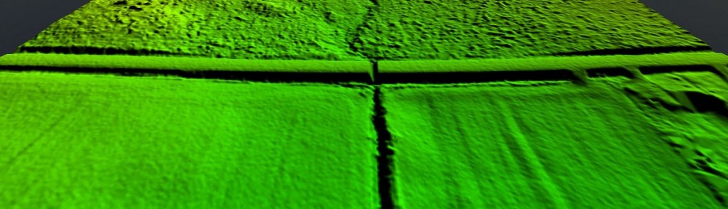
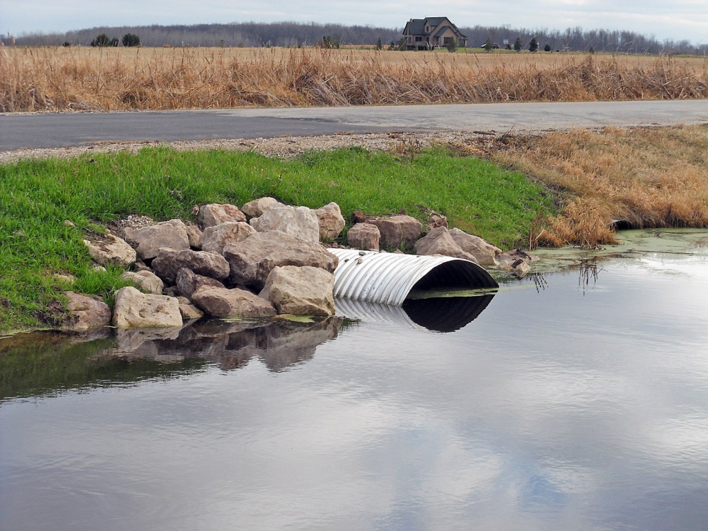
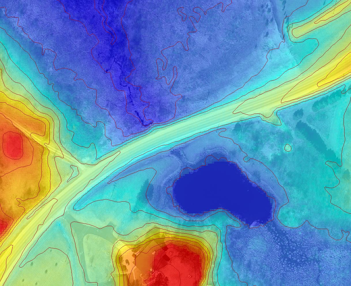
Problem: The bare earth Digital Elevation Models (DEM) prepared for the typical Lidar project do not incorporate culvert drainage into the surface models. While thorough bare earth editing and hydro-reinforcement will accurately model natural flow patterns, there remain roadblocks to the drainage patterns where they intersect roads and driveways. Here’s an example from Fond du Lac County, WI that shows the dam-effect of a road:

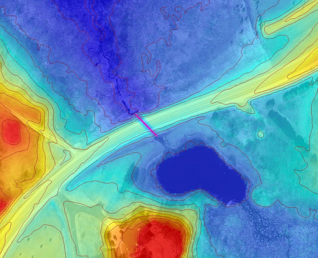
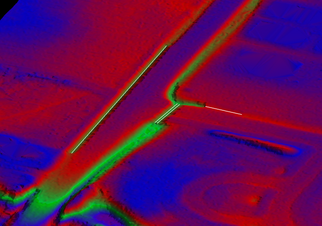
Solution: To maintain continuity of drainage across these unnatural barriers, culverts can be manually inserted to “cut the DEM” to facilitate flow lines. The following image shows the manually placed culvert line. In this case, the culverts were digitized from high resolution aerial imagery and draped to a 3D surface:
The Process: There are a number of approaches to cutting culverts, but the process starts with digitizing the culverts. It is difficult to identify culverts from the Lidar point density acquired for your typical topographic mapping project. We recommend that these be collected from alternative sources. For example, a surveyor can capture GPS data on culverts in the field. More economical approaches may include extracting culverts using photogrammetric stereo-compilation or heads-up digitizing from aerial photography. Lidar-grammetry techniques (compiling from intensity models) may be an option when high density Lidar is available.
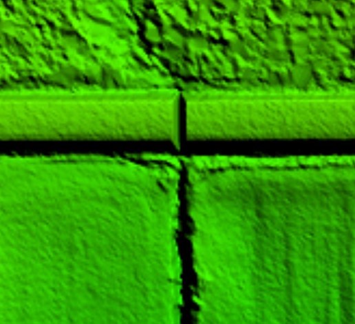
 The digitized culvert lines need to be converted to a 3D breakline and incorporated into the bare earth surface data. We then remove the bare earth data from above and in proximity to the breakline using a buffer.
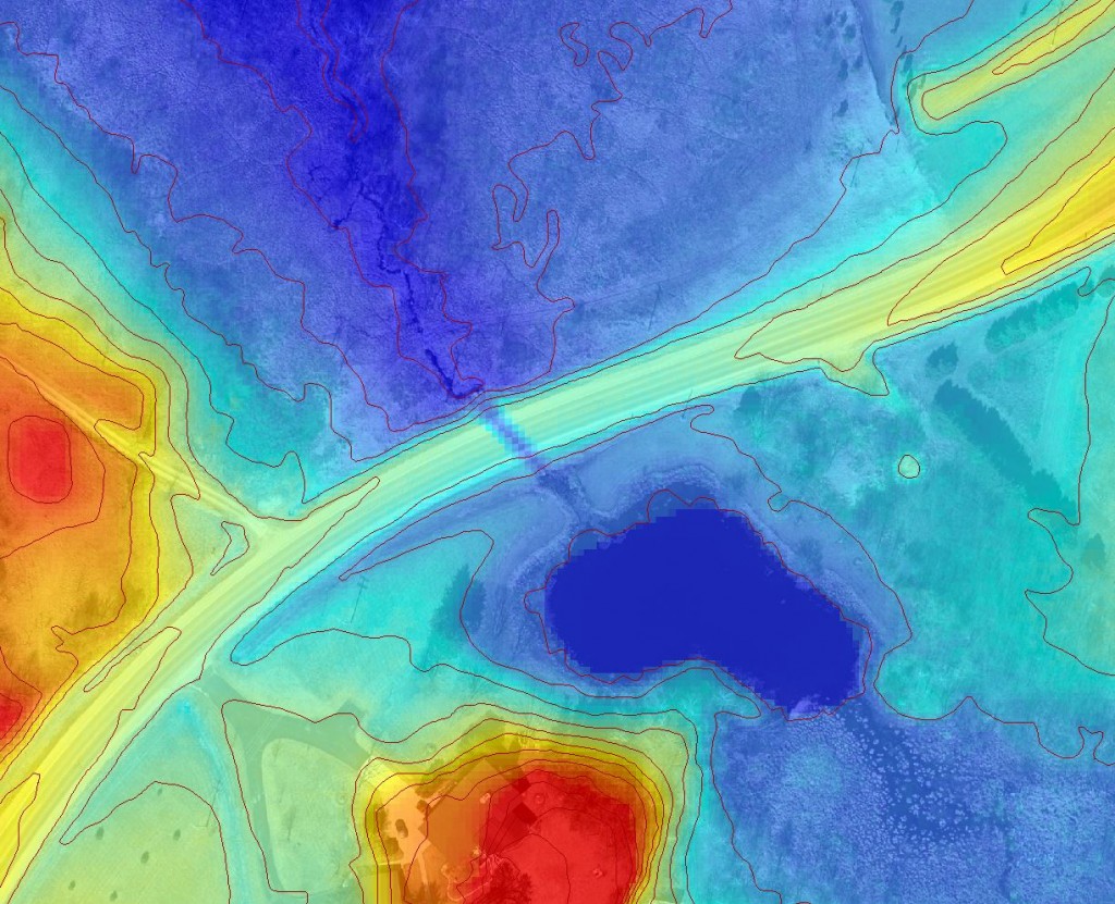
 We can choose the buffer distance based on local conditions, client preferences, and point density. For example, we may choose to use a 1-ft buffer when working with high density Lidar (< 0.7 ppsm) or 5-ft buffer with typical county-wide Lidar specifications. A new DEM is produced that incorporates the breakline and filtered bare earth points.


Recent Comments