

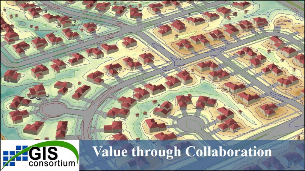
 An invitation to municipalities in the greater Chicago area to participate in this high accuracy aerial mapping program. With the completion of the 2015 GIS Consortium (GISC) flights and with production in full-swing, communities are already preparing their mapping budgets for 2016 and beyond.

GIS Consortium Members
 The GIS Consortium (GISC) is a group of local communities working together to develop cost-effective solutions for geographic information systems (GIS) and related mapping technologies. The organization was formed in 1999 and consists of cities and villages in northeast Illinois that are challenging traditional forms of community-based information systems. Current members include:
Bensenville • Buffalo Grove • Carol Stream • Deerfield • Des Plaines • Elk Grove Village • Glen Ellyn • Glencoe • Glenview • Highland Park • La Grange • Lake Forest • Lincolnshire • Lincolnwood • Morton Grove • Mundelein • Norridge • Northbrook • Oak Brook • Oak Park • Park Ridge • Riverside • Rolling Meadows • Schiller Park • Skokie • Tinley Park • Wheeling • Winnetka • Woodridge
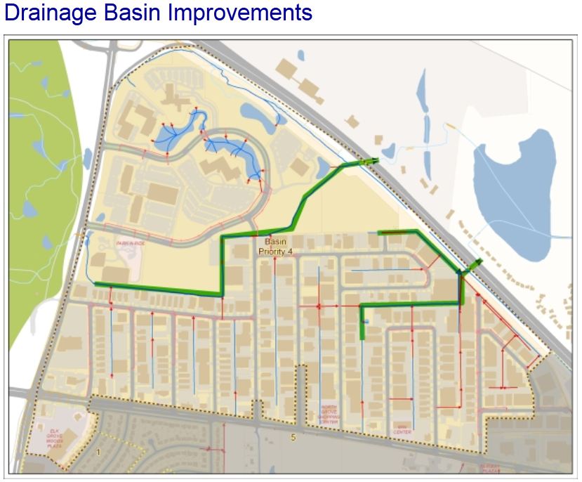
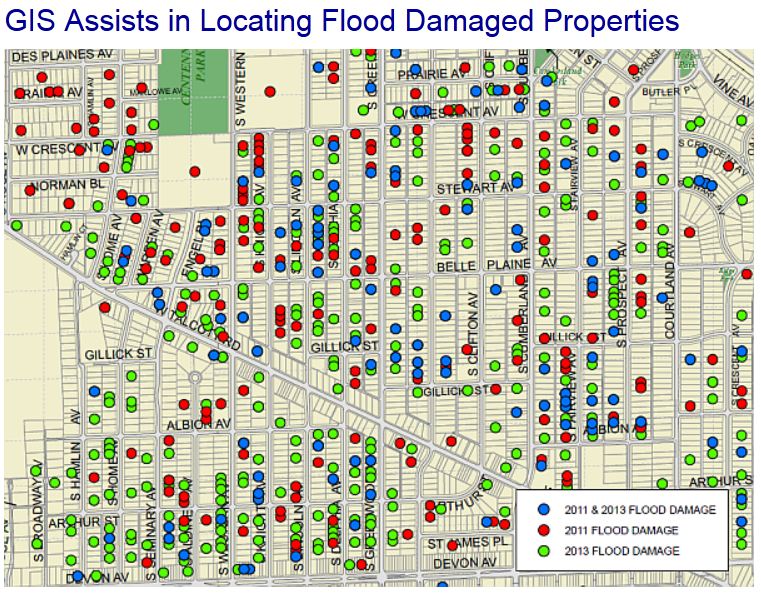
Through this organization, communities benefit from collaboration between public and private partners. It represents an extraordinary collection of professionals from many disciplines, working together to build economical mapping and information solutions for numerous municipal departments: Stormwater and Floodplain Management, Public Works, Engineering, Planning and Zoning, Information Technology, GIS, Parks and Forestry, and Public Safety. 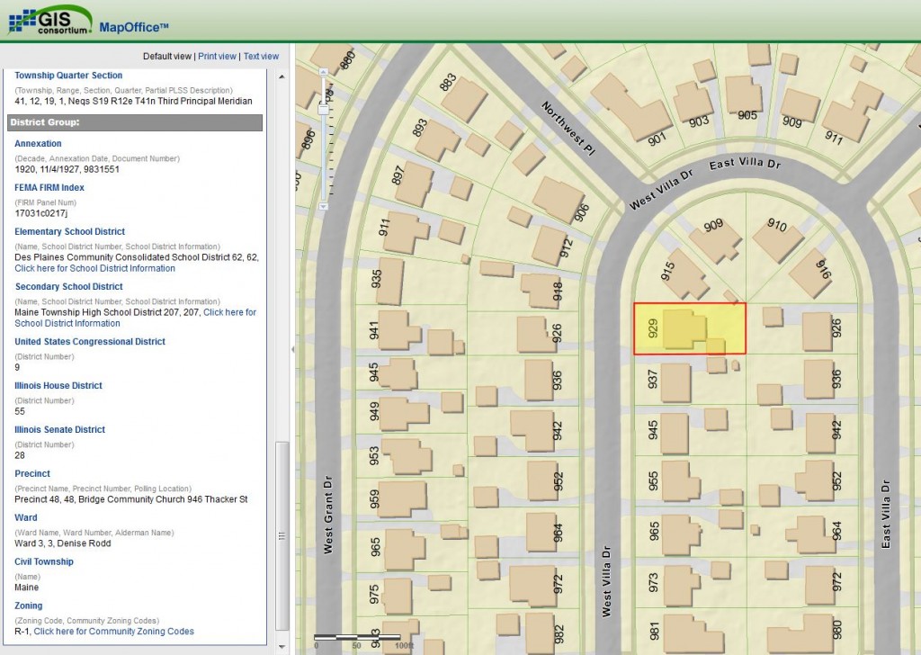

Access to Advanced Mapping Technology
 The GIS Consortium has access to the latest mapping and surveying technology. This toolbox comes with the professionals that know how to use them economically. Whether doing a small site survey or community-wide mapping effort, the Consortium can support your project with:

-
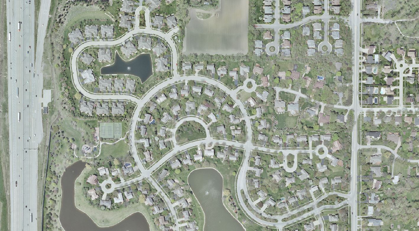
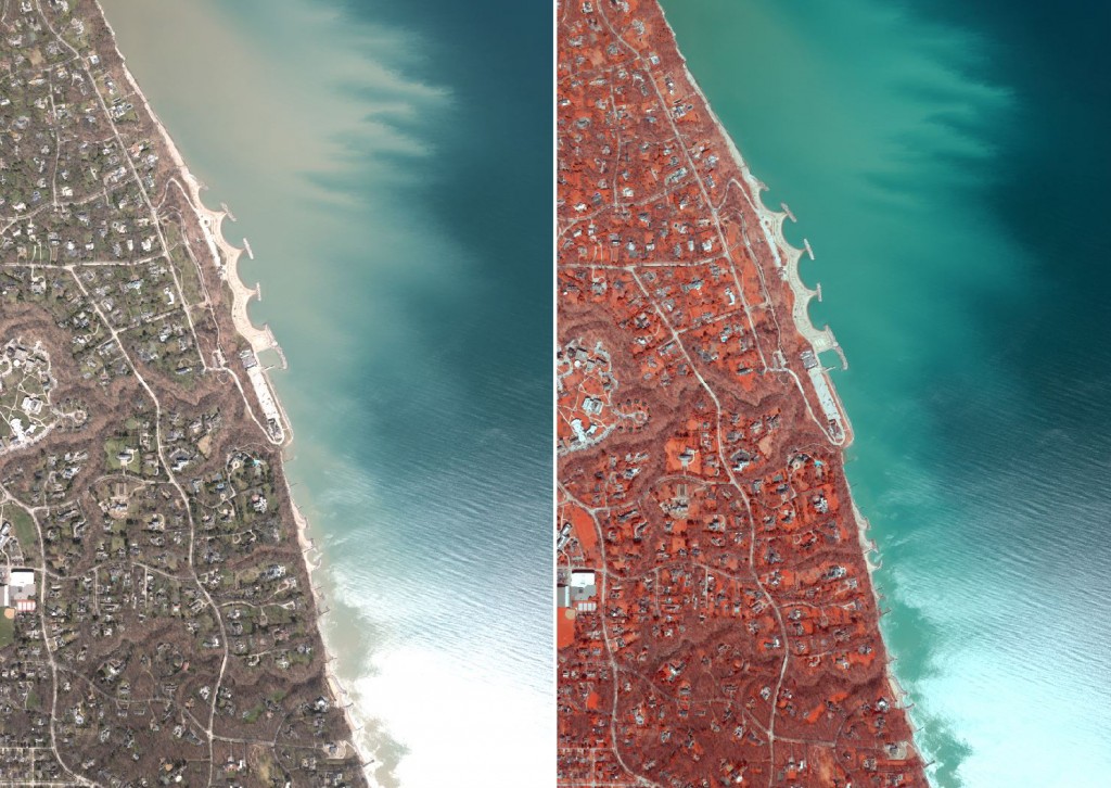
 Digital Aerial Photography
 -
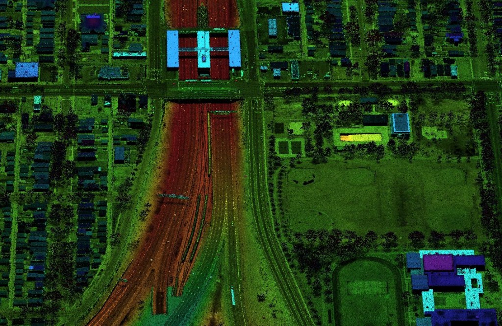
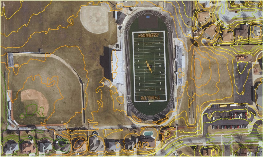
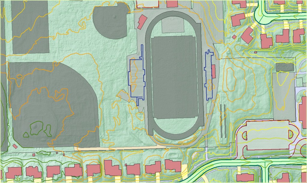
Aerial LiDAR & 1-ft interval contours
-
Impervious Surface Mapping
-
HD Scanning and Mobile LiDAR
-
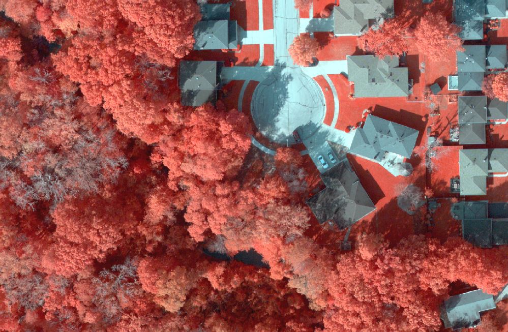
Color Infrared Imagery
-
 Survey and Monumentation
 -
Geographic Information Systems (GIS)


An Invitation to Participate
On behalf of the GIS Consortium, I would like to invite you to join these communities in this program. Unit pricing based on volume of participation has translated to significant savings – discounts up 40% are being realized for individual communities. We offer the benefits of this cooperative effort to all communities in the area; formal membership in the Consortium is not required.
For more information visit: www.gisconsortium.org
And read about unique mapping applications at:
www.ayresgeospatial.com/category/gis-consortium/
Contact Information
Jason Krueger, CP, GISP
Project Manager
Ayres Associates
608.443.1230
kruegerj@ayresassociates.com


Recent Comments