High Density Lidar for Illinois Municipalities
Communities in northeastern Illinois incorporate high density aerial Lidar into everyday municipal engineering applications. The rich data derived from these point clouds are being used for capital improvement projects, stormwater management, urban forestry, and planning. Collaboration between municipalities allow smaller and mid-sized communities to economically implement this technology.
Micro-Drainage Analysis
The higher definition surfaces derived from Lidar is providing engineers and stormwater planners with more information to address overland flow issues in residential areas.
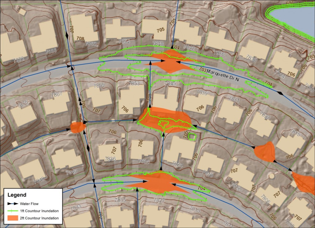
The orange areas depicted above are representative of inundation areas defined using 2-ft interval contours obtained from a county. The green lines are depression contours from a 1-ft contour Lidar data set derived from a high density point cloud (20 points per square meter). While the 2-ft contour data may be useful for large-area, systematic analysis, the higher density data that these communities are acquiring are supporting micro-drainage analysis.
2D and 3D Feature Extraction from High Density Lidar
Lidar missions in this urban environment are designed to account for specific site conditions and maximize the potential for serving a broader range of services. In order to support 1-ft interval contours and 3D feature extraction, Ayres Associates starts with analyzing appropriate Lidar point densities needed for each project along with swath orientation and overlap.
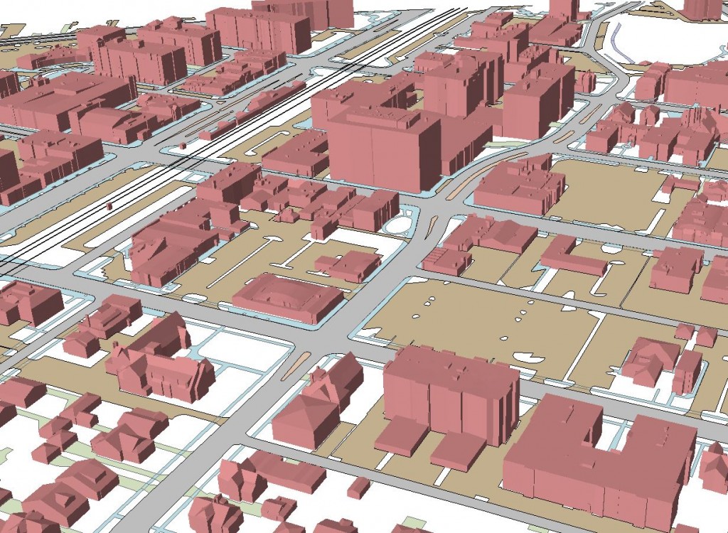
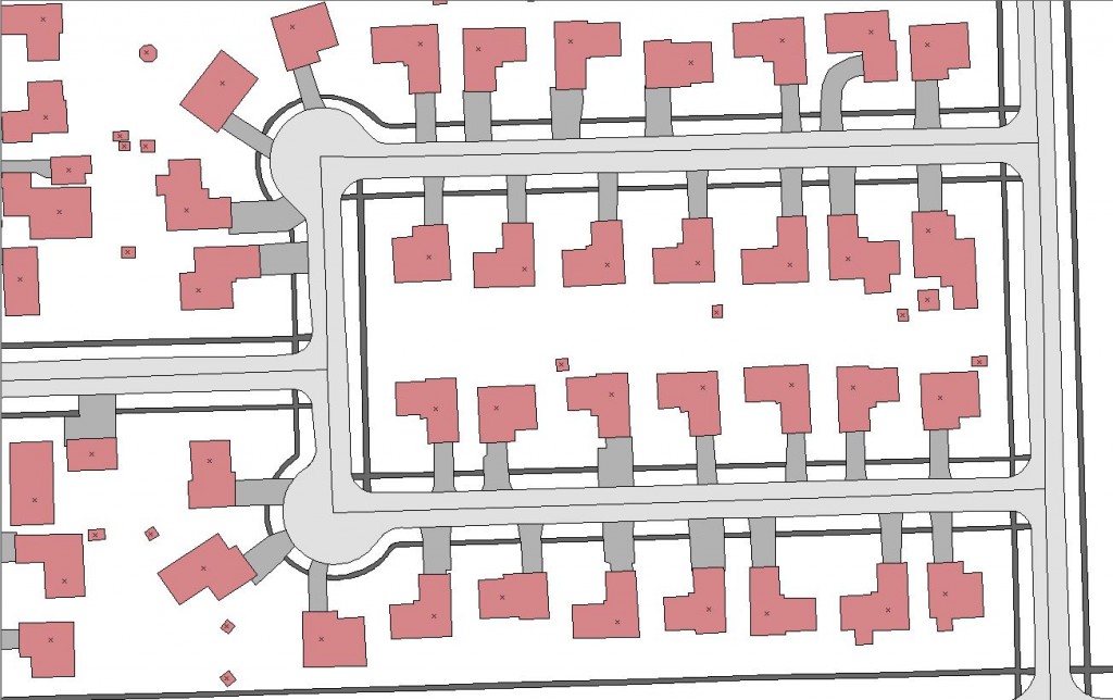 Lidar is providing an alternative approach to compiling planimetric mapping, including impervious surfaces. Using software designed to permit 3D compilation, the new mapping process replicates traditional photogrammetric methods. The point clouds are capable of supporting 1″ = 50′ map scale for common GIS base mapping in 2D or 3D.
With the increasingly restrictive airspace around O’Hare International Airport, Ayres Associates has responded by adjusting our strategies to operate in this environment. Because we can acquire Lidar in the evening hours, FAA and air traffic controllers have been much more accommodating towards our flight crews. Additionally, the late night flights have provided an extra benefit by reducing the amount of auto traffic on major thoroughfares and highways- which helps to expose the bare earth for better surface modeling.


Recent Comments