


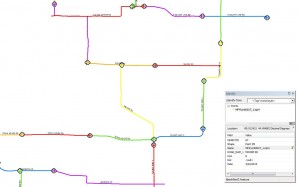
Our Spatially Integrated Video system provides street level information for a wide range of municipal and highway applications. The mobile video captured with geo-referencing capabilities can be formatted for use within a GIS platform with hyperlink attribution. The video segments include embedded directional and vector displays for efficient locational orientation.

 Applications for this product may include:

-
Pavement analysis
-
Pre-construction documentation
-
Code enforcement
-
Asset inventory
-
Urban planning


1 ping
Ayres Spatially Integrated Video System 2.0 » Borders & Frontiers
June 4, 2016 at 9:36 am (UTC -6) Link to this comment
[…] a previous blog post we introduced our Spatially Integrated Video (SIV) system and displayed its capability in providing […]