31,211 Square Miles of LiDAR in Wisconsin
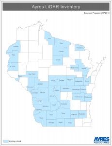
Since 2004, Ayres Associates has provided aerial LiDAR services for 41 Wisconsin counties. We’ve acquired over 6,500 square miles of LiDAR in 2015… and counting!

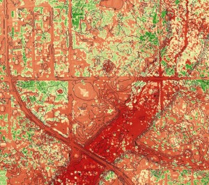
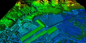
For over a decade these LiDAR projects have supported a wide range of applications around the State- from floodplain delineation to forestry analysis. While designed to meet FEMA accuracy standards for floodplain analysis, counties and municipalities are finding unique applications for these rich data sets. LiDAR data is now an important tool for a diverse range local government departments: engineering, highway, public works, land information, planning and zoning, forestry, public safety, etc.


Ayres has assisted many of these counties with securing funding assistance- whether through public and private partners, or through state and federal grants. As an example, LiDAR services made up a significant part of the 2010 WROC program. Twenty counties completed countywide LiDAR projects through that program, totaling more than 12,000 square miles. Eighteen of these counties received federal grants that covered 100% of their project costs through the Federal Emergency Management Agency (FEMA) Community Development Block Grant – Emergency Assistance Program. Ayres Associates worked closely with state and federal agencies associated with this effort, helping to secure funding and ensuring WROC members were in a position to take advantage of the opportunity. The LiDAR projects have been accepted into FEMA’s floodplain mapping program without exception, each exceeding FEMA’s standards for accuracy and completeness.


Recent Comments