Another Successful Aerial Imagery & LiDAR Flight Season for GIS Consortium
Ayres Associates wrapped up another year of aerial imagery and LiDAR missions for the Illinois GIS Consortium. This marks 15 consecutive years of aerial mapping missions for these Chicago area communities.
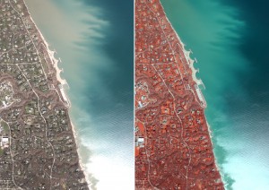
Digital Aerial Imagery
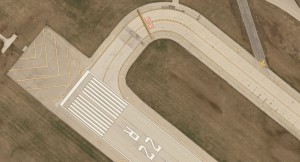
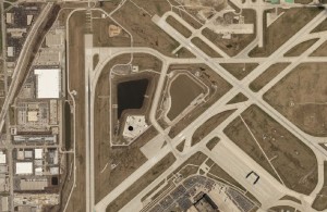
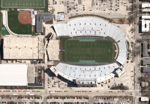 Approximately 90 square miles of high resolution aerial imagery was acquired this spring using an UltraCAM Eagle digital imaging system. The imagery captured for the 12 participating communities will be used to support a myriad of municipal services including engineering, planning, and public safety.
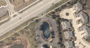 Up-to-date planimetrics and orthoimagery derived from imagery are key elements of the Consortium’s GIS base mapping program.
High Density Aerial LiDAR
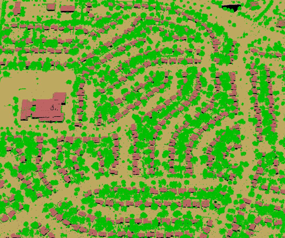
 Additionally, Ayres Associates captured high density LiDAR for approximately 30 square miles. LiDAR is becoming an increasingly useful tool for the Consortium- the high density data (20 points per square meter) is being employed by these communities for wide-area topographic studies and for micro-drainage issues in stormwater analysis.
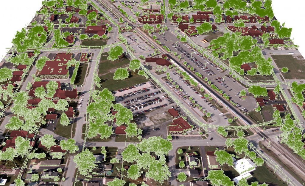 The high density LiDAR data will also support extraction of planimetric information- including traditional 2D planimetric feature compilation of impervious surfaces or complex 3D modeling of buildings and tree canopies. This provides the Consortium with the flexibility to build new customized products and efficiency through reduced number of aerial mapping missions needed in this high air traffic environment around O’Hare International and other regional airports.
 The Illinois-based GIS Consortium (GISC) is a group of 23 communities in the Chicago region that work together to develop GIS solutions. The GIS Consortium continues to expand the use of digital cameras for specialized municipal mapping applications.
 This technology has allowed the participants to acquire high accuracy, high resolution aerial imagery at a lower cost. Unit pricing based on volume of participation has also translated to significant savings – discounts up 40% are being realized for individual communities. We offer the benefits of this cooperative effort to all communities in the area; formal membership in the Consortium is not required.
For more information about the GIS Consortium, please visit: www.gisconsortium.org


Recent Comments