

Urban forests are a valuable asset to the growth and prosperity of human ecology. Not only do city trees increase property value and help to conserve energy by shading and cooling buildings, they also contribute to a number of health benefits by improving the quality of our air and water. A diverse population of trees reduces storm water runoff, and its accompanying pollutants, from entering fresh water sources, thereby helping to maintain the clean, uncontaminated water that is essential to our daily life.
Ayres Associates and Applied Ecological Services (AES) have worked together to develop a method for mapping urban forests from the air. As discussed in the previous article on monitoring aquatic vegetation, our RCD30 camera is designed for capturing 4-band multispectral imagery. The infrared band responds to the chlorophyll found in vegetation and allows for the identification and examination of urban tree canopies.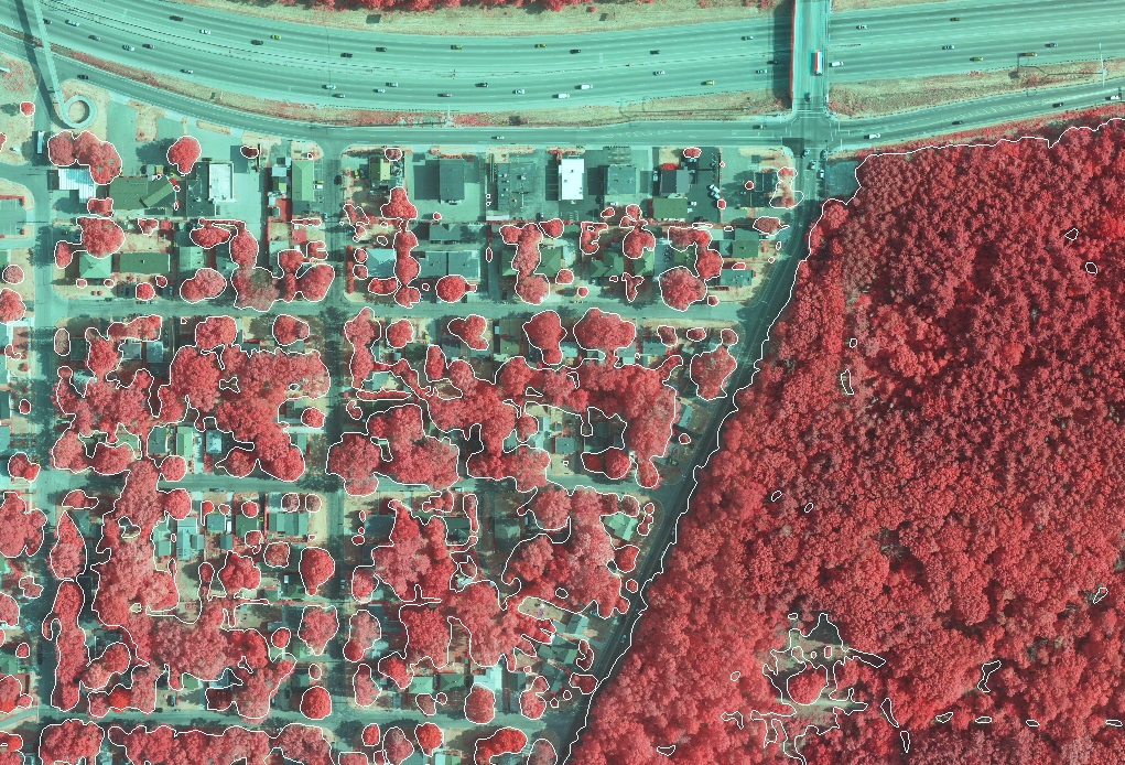 We fly aerial missions “just-in-time,” such as when tree species exhibit distinct canopy colors, and are able to capture the imagery at a custom resolution that is tailored to the local tree cover characteristics. This imagery, together with accurate ground truth sampling, is a powerful management tool for urban forestry.
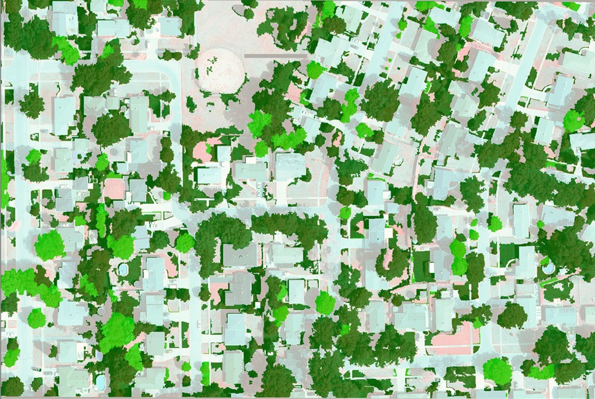
The collection of multispectral imagery produces many benefits in monitoring the health of urban forests. 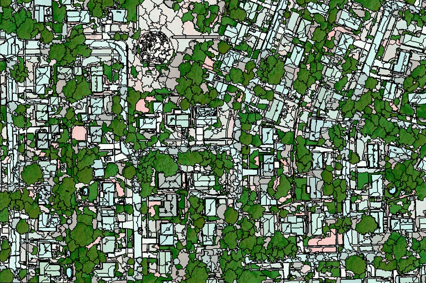 It allows for the ability to gain a better estimate of tree composition by species group, locate areas with high concentrations of trees susceptible to pest invasions and target areas for closer inspection and preventive treatment. This information is useful to urban forest managers in responding to and protecting against the spread of invasive species infestations, such as those caused by the Asian longhorned beetle or emerald ash borer.
 Additionally, acquiring this digital imagery enables us to establish a baseline dataset for quantifying canopy gain or loss and identify the resulting trends, as well as determine the most effective locations for planting trees on both public and private land. Implementation of this service is often done through assisting local governments with the input of our data into existing models, such as i-Tree, to quantify the monetary and ecological benefits of their urban forest.


Recent Comments