

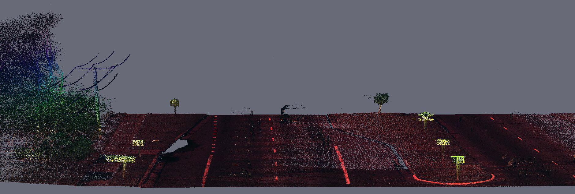
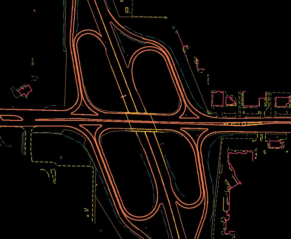
Ayres Associates provided Mobile LiDAR services for the Interstate 43 corridor in Milwaukee and Ozaukee Counties in Wisconsin. The project consists of approximately 50 total linear miles of Mobile LiDAR collection to support survey grade data. A digitally leveled primary and secondary control network was established. LiDAR and digital imagery was collected to maximize detection of features within 70 feet of the paved road edge. The LiDAR derived DTM will also be supplemented with photogrammetric stereo-compilation. This ongoing project for WisDOT is an example of a highly complex LiDAR effort. The overall size of the corridor represents a significant mobile LiDAR project, demanding attention to detail and thorough understanding of LiDAR and survey technology and local site conditions.
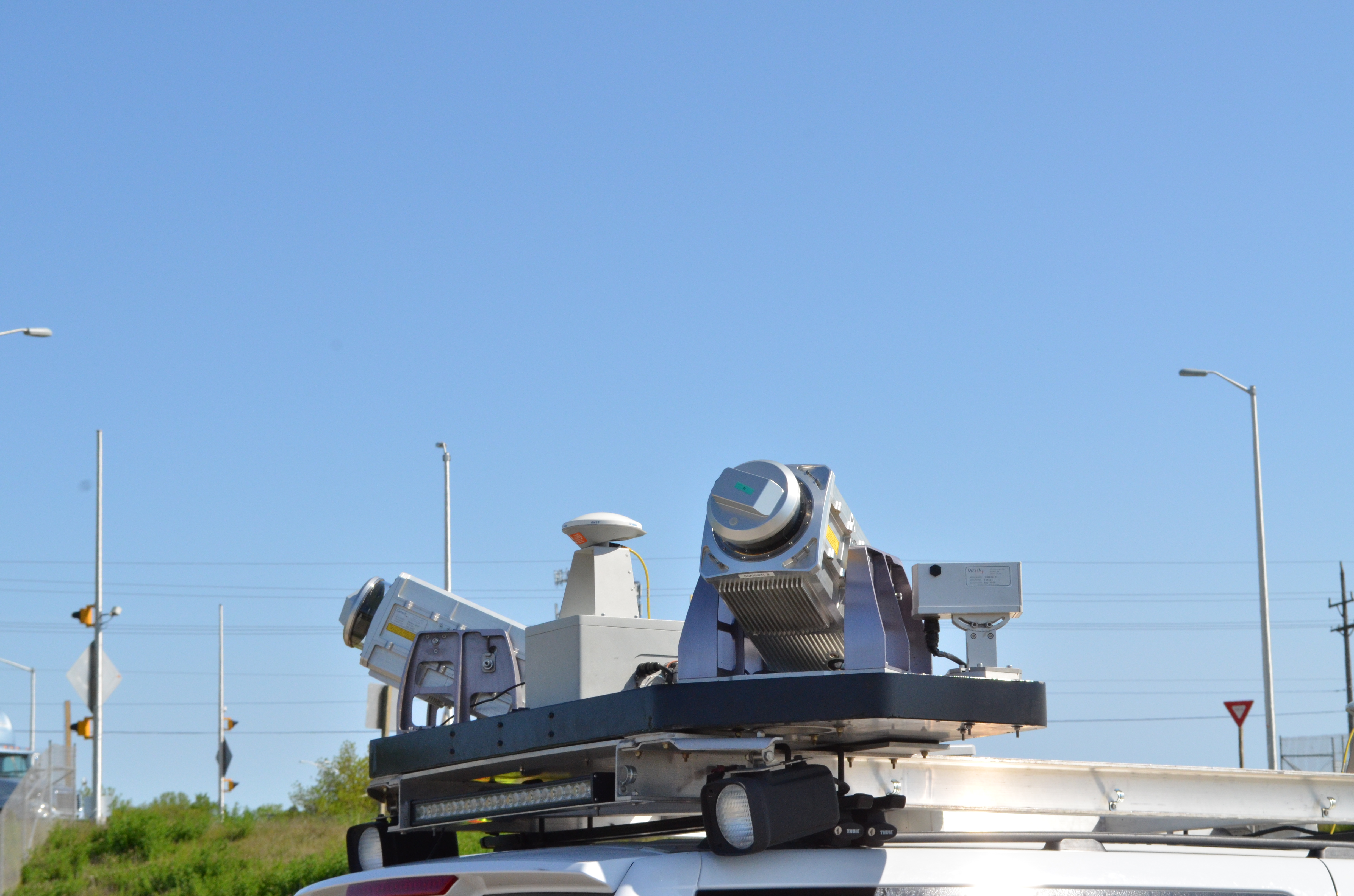
Ayres Associates has been providing mobile LiDAR (ground-based) services since 2011. In 2012 Wisconsin DOT called upon Ayres Associates to provide a total solution for the IH-43 mapping project. This effort required the expertise of multiple disciplines within Ayres Associates: a geospatial staff with a thorough understanding of how to integrate multiple mapping technologies, highly trained survey personnel to establish the primary and secondary control networks, and experienced construction services crews to manage all field crews operating in a high-risk environment.
Ground control and targeting has been a critical component for each mobile LiDAR project that we’ve. The control strategy that we employ involves setting chevron targets or “photo-id” targets on pavement that are clearly identifiable in LiDAR intensity images. From our experience, targets placed at approximately 1000-foot intervals with supplemental targets for areas such as medians, emergency crossovers, and ramps is the most effective targeting methodology to support survey grade accuracy.
 For the IH-43 project, Ayres was responsible for establishing the control network, which included setting and leveling through 240 primary control points and benchmarks, as well as 570 secondary targets. All primary and the majority of secondary points were digitally leveled to achieve the highest level of accuracy that can be practically obtained through the mobile LiDAR platform. Additionally, check points were established to verify the accuracy of the calibrated point cloud prior to classification and data extraction.
![]()
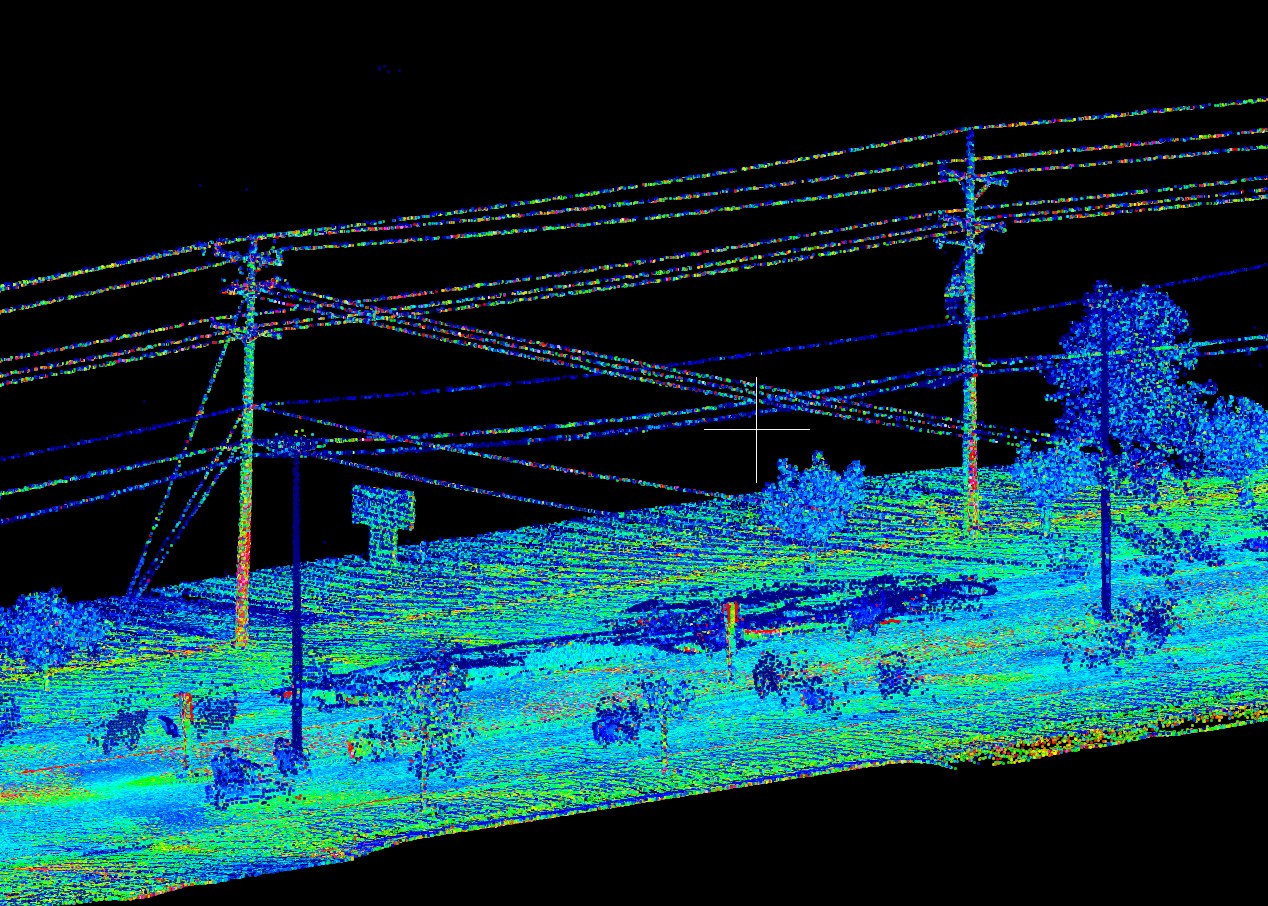
Control Networks. Ayres established approximately 540 LiDAR ground control targets and digitally leveled most of them. Four-person, daytime leveling crews operated on closed shoulders to minimize impact on traffic. Leveling of all shoulder targets was completed in one pass and without crossing live lanes of traffic. Because some targets were required in traveled lanes, our survey crews painted and measured these during off-peak travel time in second- and third-shift schedules – in conjunction with lane closures. LiDAR acquisition crews and base station operators maintained flexibility to work around high volume traffic during morning and evening commutes, holidays, and sporting events.
Safety and Traffic Control. This high traffic environment requires special focus on safety in the field at all times. Ayres has a high degree of familiarity with WisDOT lane closure restrictions and safety procedures and had the necessary experience to organize such an effort. Our Safety Coordinator wrote customized safety procedures for this project and coordinated field operations with survey crews, the traffic control company, LiDAR acquisition crew, and WisDOT’s Traffic department. Additionally, on-site meetings prior to key phases of the project to ensure that all parties held a common understanding of schedules and responsibilities.


Recent Comments