

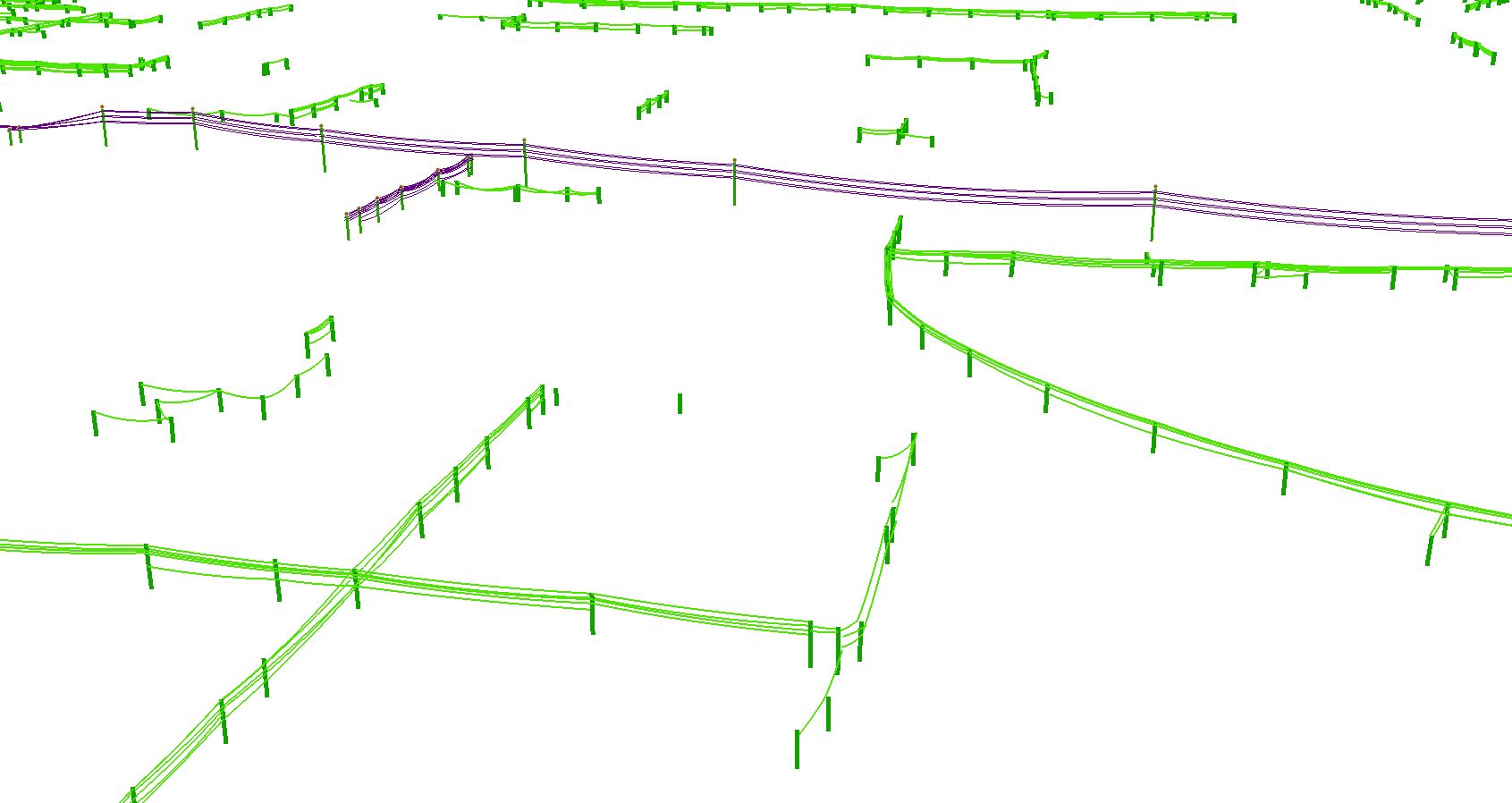
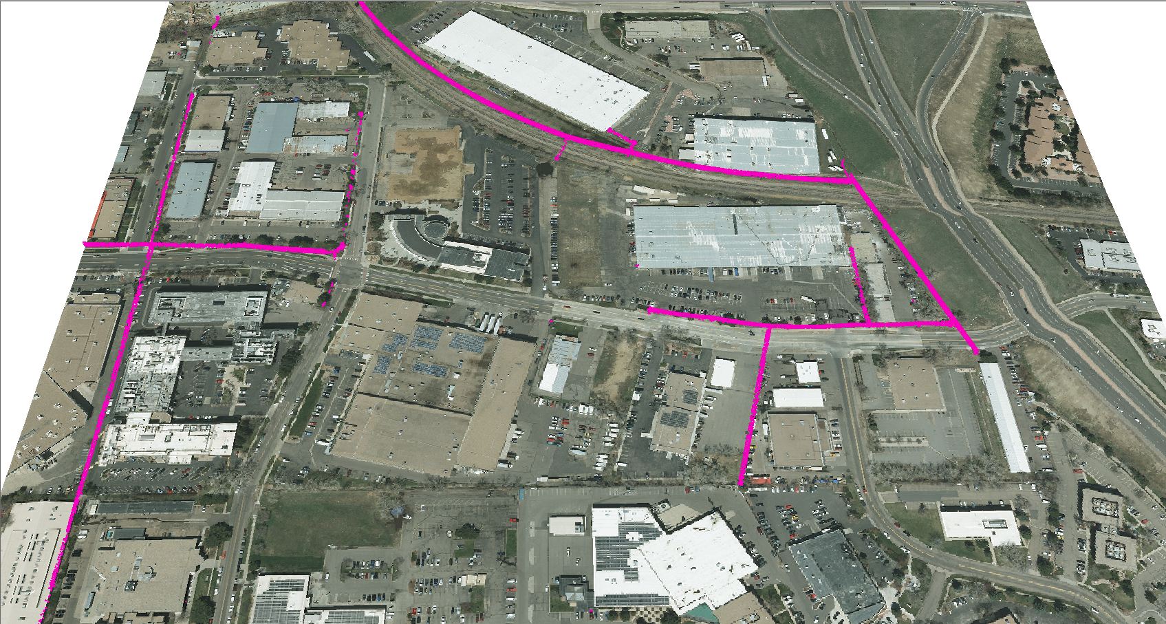
Ayres Associates is mapping transmission lines in the Rocky Mountains of Colorado through the use of fixed-wing Lidar systems. Poles, conductors, and utility structures are being extracted from high density Lidar point clouds and modeled as vectors in a geodatabase.
Much of the focus on as-built transmission surveys over the past few years has been on 100kV+ networks. The most efficient means of surveying and modeling these lines has been through the use of helicopter-based systems. These systems are capable of achieving the accuracy needed for electrical engineering design and maintenance. These surveys tended to be long corridors with meanders that can be easily followed by helicopters.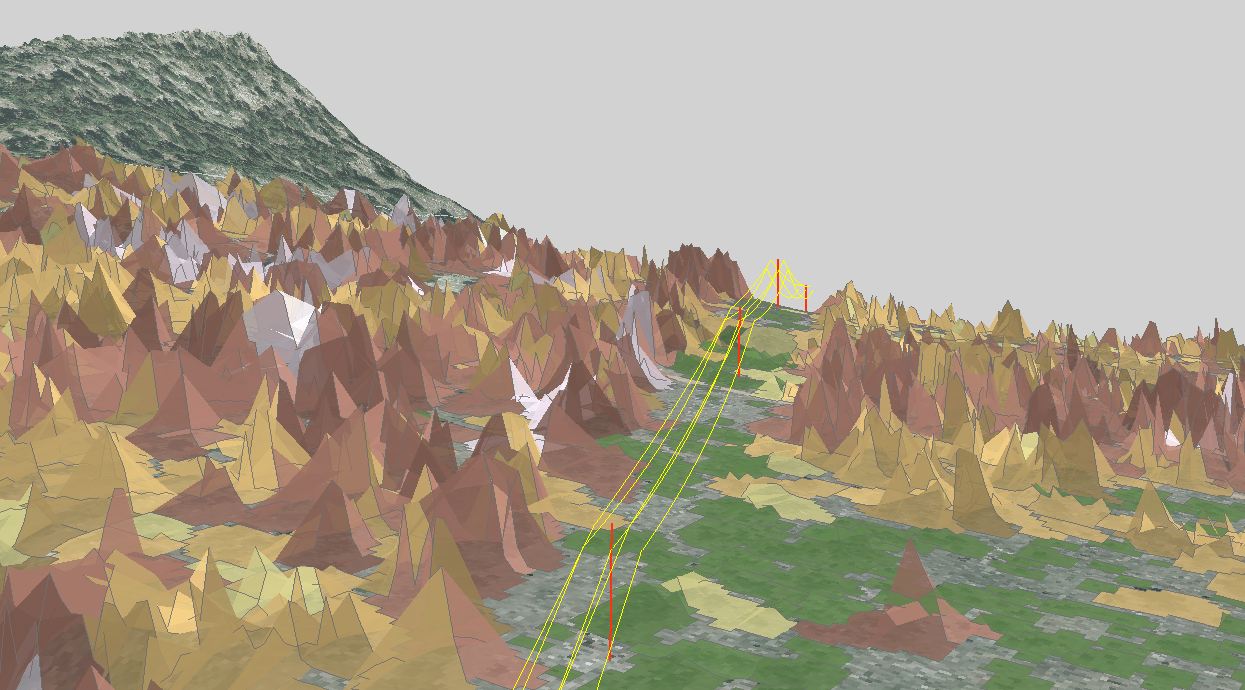
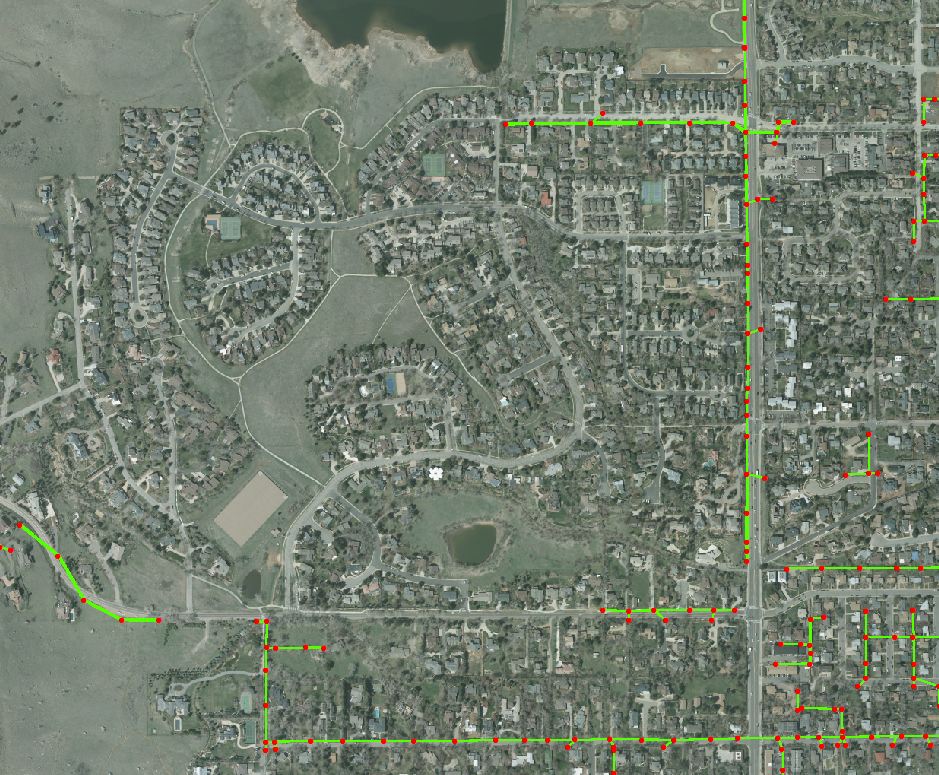
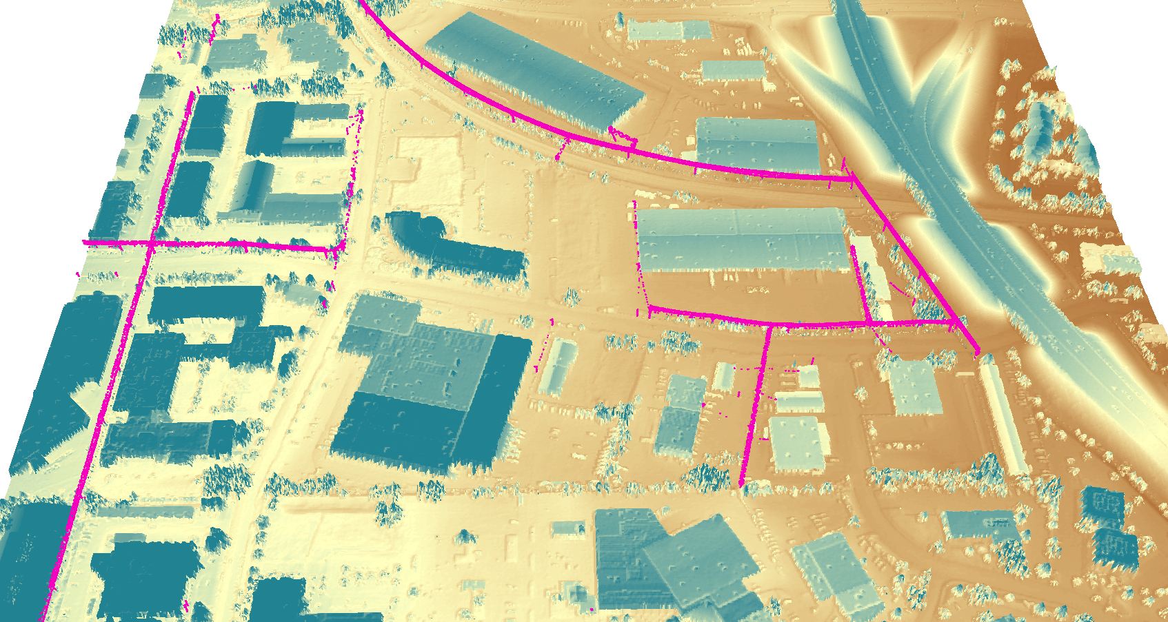
Since much of the 100kV+ lines have been surveyed, the focus is shifting towards collecting and analyzing information about lower voltage transmission and distribution lines. This information is being used for a variety of applications, including asset inventories, assessing encroachment, and wildfire mitigation.
Although these types of surveys do not always require the same accuracy achieved using helicopter lidar, it does require a sufficient density of points in order to extract poles, conductors, and other important information. Until relatively recently, there were few fixed-wing aerial Lidar systems capable of supporting the necessary point density – with any sort of efficiency. However, there are several new multi-pulse systems manufactured today that capable of collecting sufficient density over wide areas.


2 comments
1 ping
Gene Roe
March 23, 2014 at 12:04 pm (UTC -6) Link to this comment
http://blog.lidarnews.com/multi-pulse-lidars-changing-the-business-model
Jason Krueger
March 25, 2014 at 12:26 am (UTC -6) Link to this comment
Thanks for the link to the blog article on Multi-pulse systems… Definitely means a lot to us to see our name in LiDAR News! we have been developing some new applications for data extraction from multi-pulse systems. In particular, we are testing some new applications in the Chicago area- where we have difficulty collecting high resolution imagery in the O’Hare airspace. The ability to get into this area at night with a lidar system will give us the ability to capture much of the same planimetrics that were traditionally captured from stereo-imagery. I will try to follow up with additional news on these efforts soon.
Multi-pulse LiDARs Changing the Business Model - LiDAR News
March 23, 2014 at 12:03 pm (UTC -6) Link to this comment
[…] they explain in this blog from Ayres Associates much of the 100kV+ power transmission lines have been surveyed so the focus […]