

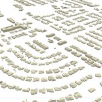
Get more information from your aerial LiDAR – beyond contours and surface models. Recent advances in LiDAR systems and software are leading to new tools for extracting valuable information from point clouds. High-density point clouds can be used to extract 3D building shapefile polygons using customized algorithms inTerrasolid’s TerraModeler software. Complex 3D building models are …


Recent Comments