

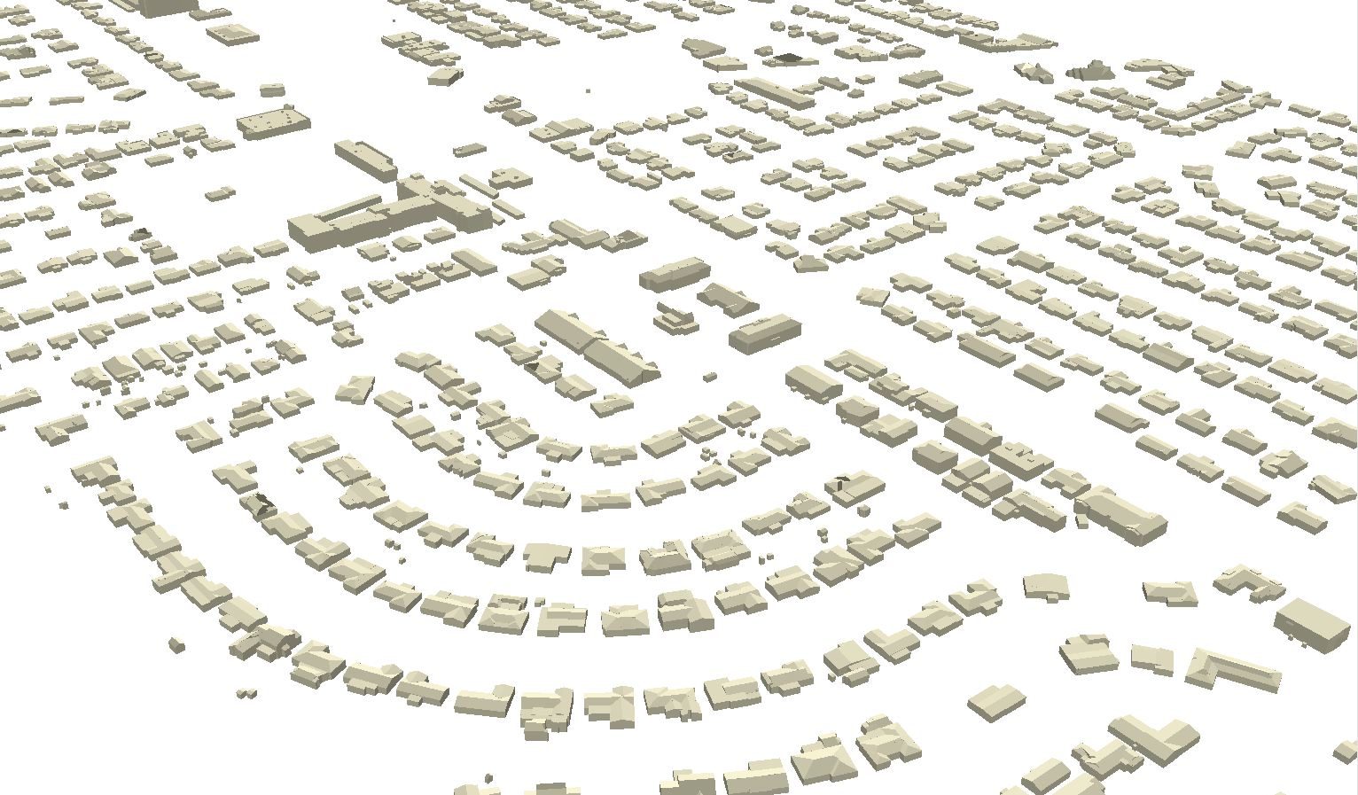
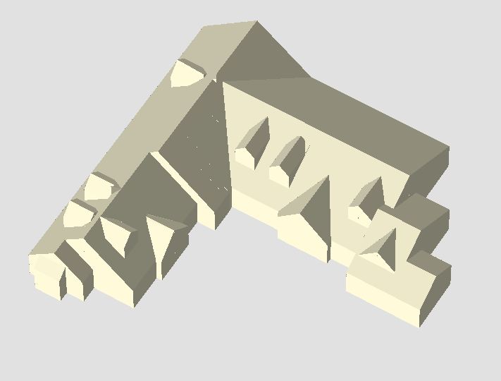
 Get more information from your aerial LiDAR – beyond contours and surface models. Recent advances in LiDAR systems and software are leading to new tools for extracting valuable information from point clouds. High-density point clouds can be used to extract 3D building shapefile polygons using customized algorithms inTerrasolid’s TerraModeler software.
Complex 3D building models are useful for myriad urban applications, including planning, zoning, and building code/permitting enforcement. This process can be applied to entire communities or targeted sites like business districts.
Although primarily an automated process, there are some key points to consider:
- High-density LiDAR is best; > 4 points/square meter is recommended.
- The process may require manual editing to clean up polygons in areas of tree obstructions.


Recent Comments